
Bridges & Bozos

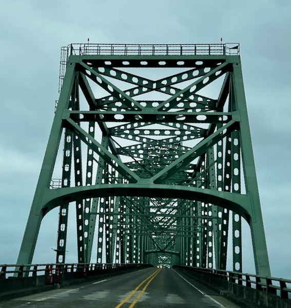
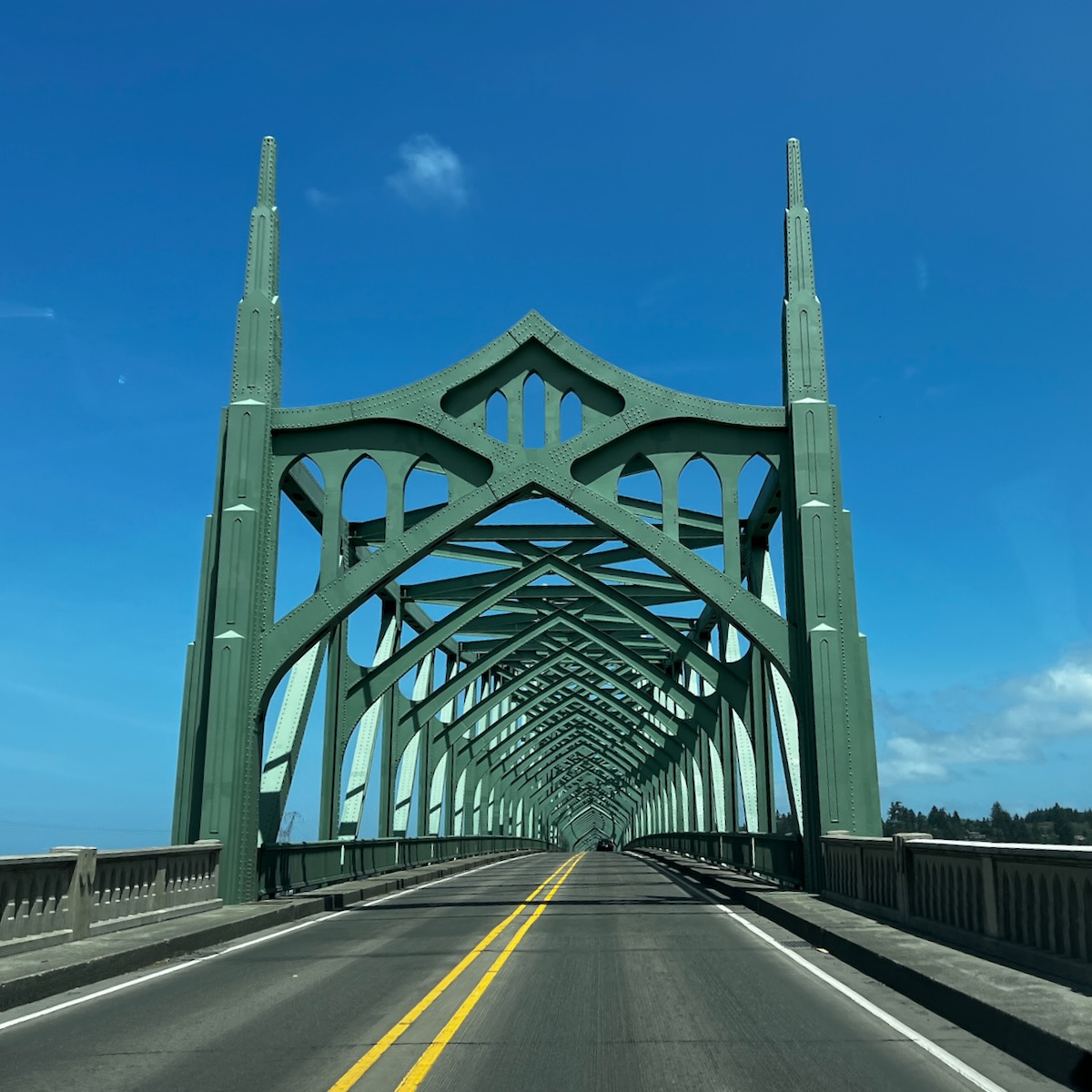
After graduating in 1978, I drove to Seattle with my fiance up the coast. She hired on with Weyerhauser – a substantial forest products company, and I was going to graduate school. As part of her relocation package, they paid for us to come up to find a home. As we drove northwards through Oregon, we started seeing these cool bridges.

As a mechanical engineering student, one of the first classes you attend is Statics. The classic problem in statics is how to build a bridge. You spend all quarter learning about all the necessary considerations on how to design something (that does not move) so that it will not break.

So every time we drove through one of these beauties (see above), we would yell: Statics!


We left the Crater Lake area early to get to the coast. The first part was very windy and narrow but otherwise in good shape. It took us through some dense forests in the Southern Cascades. This dropped us into the heart of forest product companies. We passed a considerable mill where the trucks would be hoisted up 50 feet in the air to be unloaded. Amazing.

Eventually, we wound down into Coos Bay. The climate changed radically – the air was sweet with ocean smells and very windy. The town itself seemed very hip – herb dispensaries on every corner.

Oregon Dunes KOA and Dune Buggy Central 😖

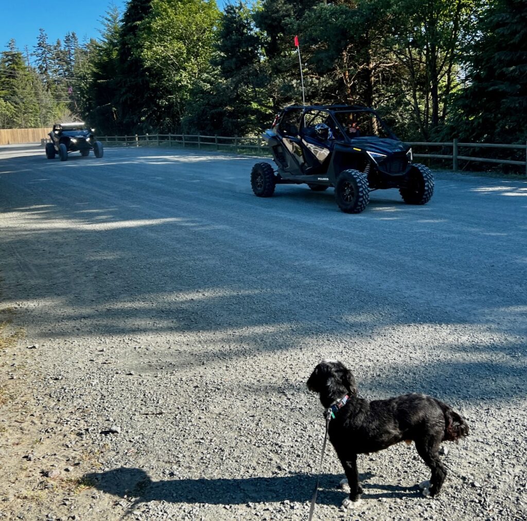
This led us to the campground for the night. It was a destination for dune buggy (and tRump) enthusiasts. With the dry gravel, wind whipping, and fucking loud and obnoxious dune buggies fuck all everywhere. Not one of my better picks. Very bad vibe.

Sunset Bay

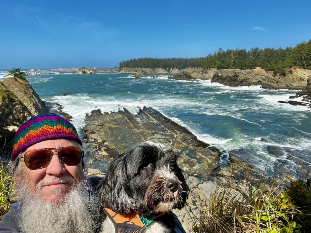
However, the front desk attendant made a good recommendation for a state park about 15 miles away. The original destination was a botanical garden on the coast just south of the mouth of the bay. Sorry – no dogs allowed 😖! We chose option 2, which offered some excellent photo ops of the coast. This is what I was looking for in California. Fewer trees here!

Lighthouse Overlook

We first stopped at the beach. Jake had a blast, as usual, checking out the new smells.

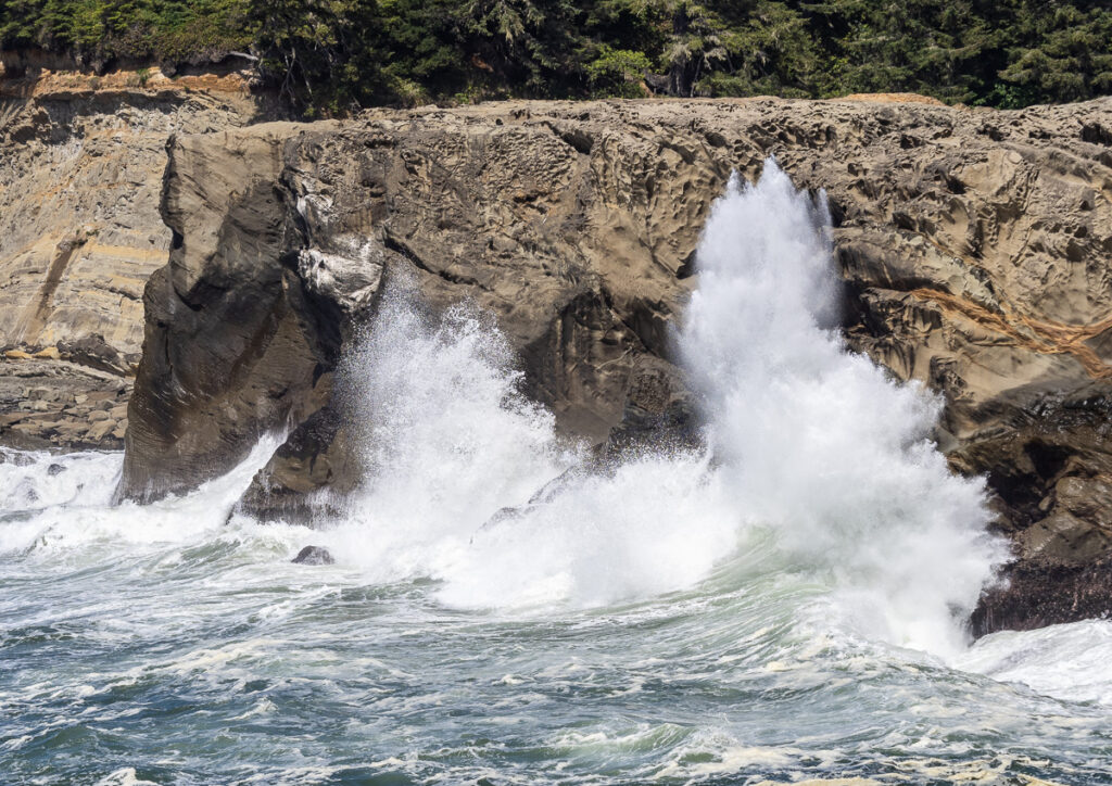
We then found a parking place for a path that led out to a stunning view of the beach. I got some shots of the enormous waves crashing into the rocks below.

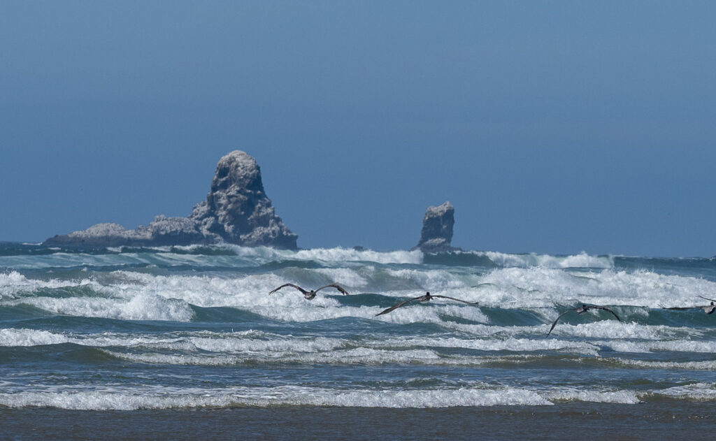
Sunset Bay waves. It’s hard to tell without a good reference, but the cliffs were about 50 feet above the water.

Bozos

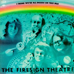
When I was in High School, we sat around, got high, and listened to Firesign Theater. They were sort of the National Lampoon of Radio Theater. With classics such as Porgy Tirebiter and Nick Danger: Third Eye, I still listen to them 50 years later.

For some reason, I have always had a powerful association with driving up the Oregon coast that summer, listening to their 1971 recording We’re All Bozos on This Bus.

With classic lines such as:

Mr. President! Mr. President! It’s the cockroaches! They’ve been sleeping with my wife!

Petitioner Clem to an AI version of Richard Nixon

It’s weird, but I think of the other every time I think of one. Too many drugs, I suppose!


It seemed fitting as this place was crawling with Bozos. Stupid people educated by Facebook and Fox News! We got out of Dodge as soon as possible and headed up the coast!

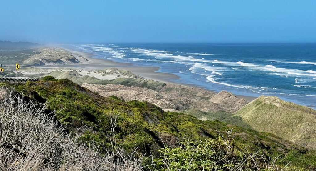
Dunes on Oregon Coast

We had our earliest start – 7 AM – and made a 10-hour journey north. We stopped frequently to enjoy the sights, take a walk or explore the beach.

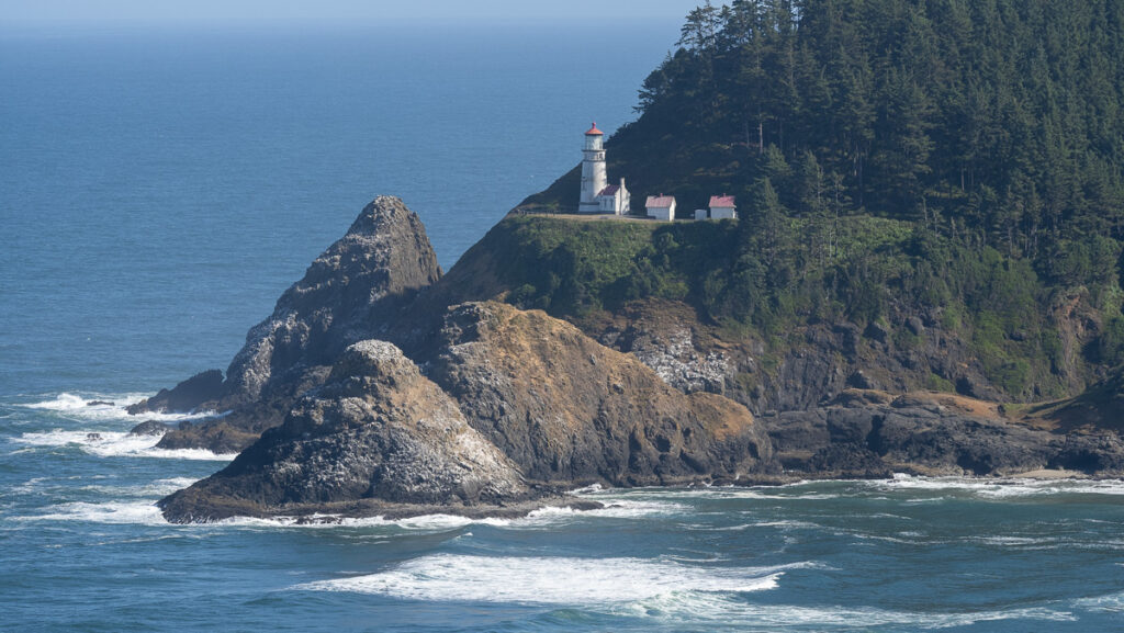
Heceta Head Lighthouse on Oregon Coast

Several sections of the drive were spectacular, hugging the side of a mountain with shear drops to the Pacific below.

We made the mistake of exploring Connon Beach – not that there is anything wrong with the town except it’s crowded with tourists 🤣 – like me. Except they weren’t pulling an RV! I tried to get out of town only to find the exit inexplicably closed. I had to backtrack through the crowds of cars and people to get back on course!

Cannon Beach on the Oregon Coast

We made it to the RV park after 4 PM. Dozens of volunteers warmly greeted us at this vast and well-featured park.

⁨Astoria / Warrenton / Seaside KOA Resort⁩

Fort Stevens

Early the following day, we drove as far north as possible to Fort Stevens.

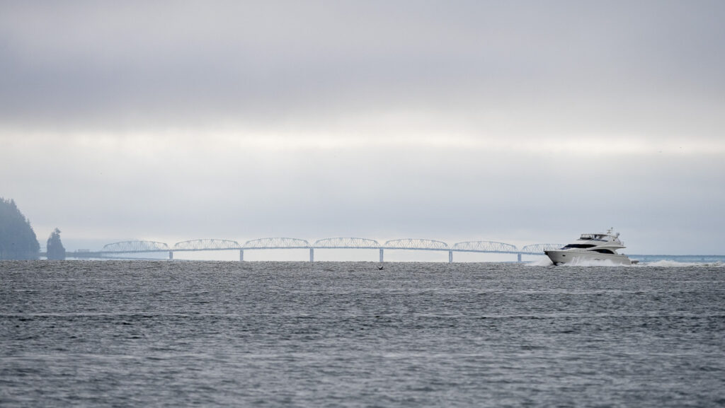
The mouth of the Columbia looking towards the Astoria-Megler Bridge (Highway 101)

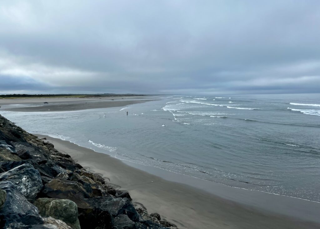
The sandy beach provided a panoramic view of the mouth of the Columbia River.

The mouth of the Columbia (the Columbia Bar) has the reputation of being the most dangerous crossing in the world, earning it the title Graveyard of the Pacific 🧐.

Looking south from the Jetty

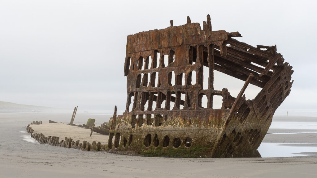
We also made a stop to see The Wreck of the Peter Iredale.

Wreck of the Peter Iredale. The ship ran aground in a 1906 storm.

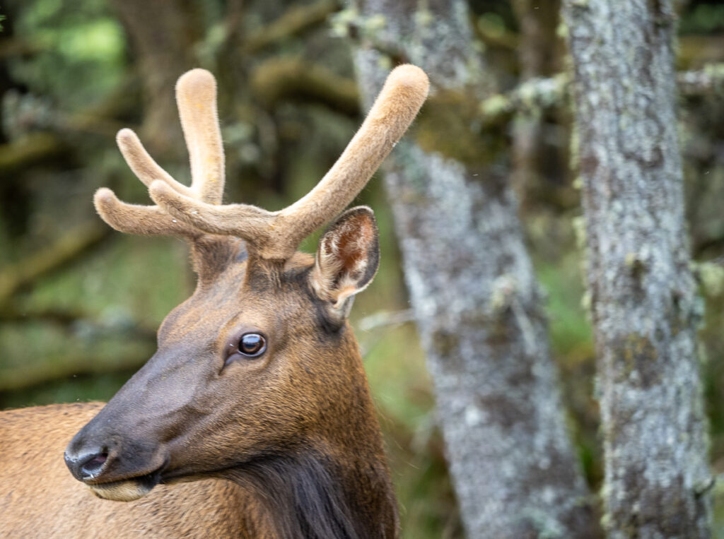
We were surprised to see a young Elk grazing nearby the road on the way out. In the act of sheer serendipity, my camera was out and ready with the zoom lens! What a handsome young lad!

Young Elk at Fort Stevens

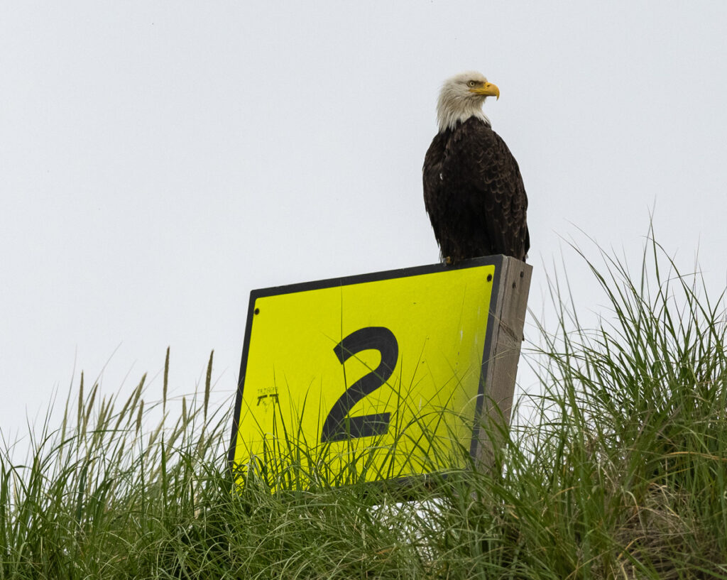
To complete a great morning’s walk, we got another stunning wildlife shot while exploring the wreck.

Eagle is looking for breakfast. I suppose the signs are all up and down the coast to aid in location and search and rescue.

Columbia River Maritime Museum

On the recommendation of my brothers, I paid a visit to the museum in Astoria. As a bonus, a Coast Guard Cutter was making port after being out at sea for an extended period. It was great to see the families waiting for their loved ones.

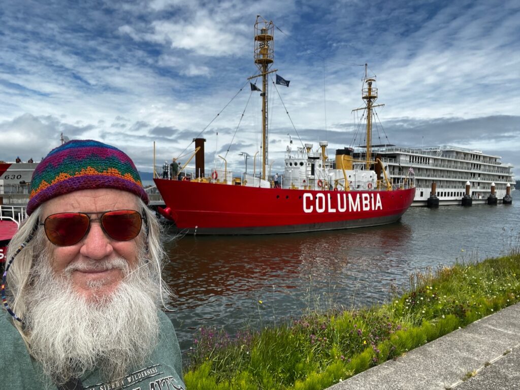
Columbia River Maritime Museum. The lighthouse ship Columbia served from 1950 to 1979 and served the whole time at a spot 5 miles from the mouth of the Columbia River.

As part of the tour, I visited an old Lighthouse Boat. Named after the river she protected, she was in service for about 40 years before retiring in the early 1960s. I learned in the museum how the entrance to the river earned the name Graveyard of the Pacific. Nearly 200 ships have been lost, including the one I saw in the morning.

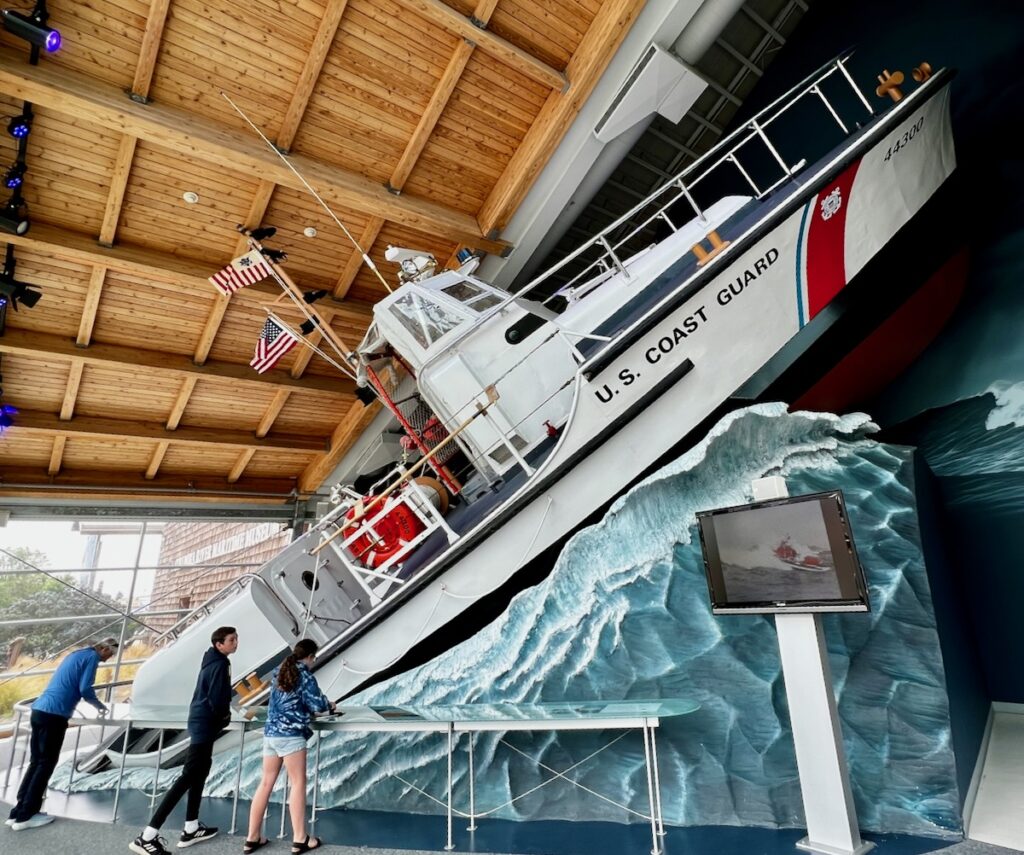
Simulation of a rescue at sea by a specialized Coast Guard boat designed to operate in heavy seas

The displays at the museum were first-rate – incredible boats and recreations of daring Coast Guard rescue in unbelievable situations.

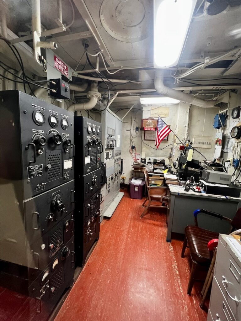
Some Ham Radio operators still operate the radio room on the Columbia!

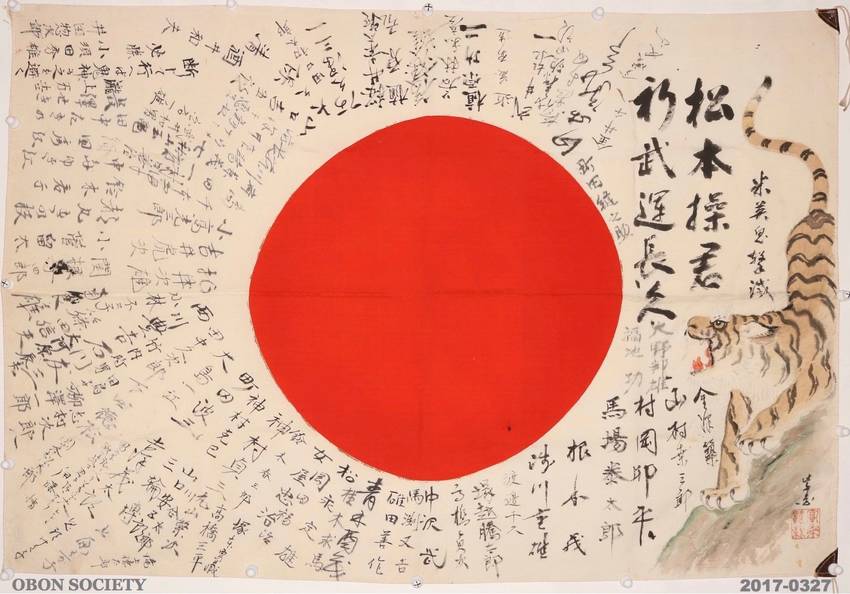
I also stumbled across a fascinating and oddly moving exhibit on the Japanese soldiers in WWII.

In World War II, Japanese soldiers carried a very personal memento into battle: Yosegaki Hinomaru. These flags, covered with signatures and well-wishes for a safe return, were given by family and friends to the soldiers as they were sent off to war. American soldiers in World War II collected flags from the bodies of Japanese combatants to take home as souvenirs. Now, decades later, many veterans and their families are realizing that these flags might be the only tangible evidence of a beloved family member lost in a war fought long ago. Although these Japanese soldiers never saw their families again, their flags are now returning home with the help of a group dedicated to helping bring closure. (from the museum website)

Peace Out


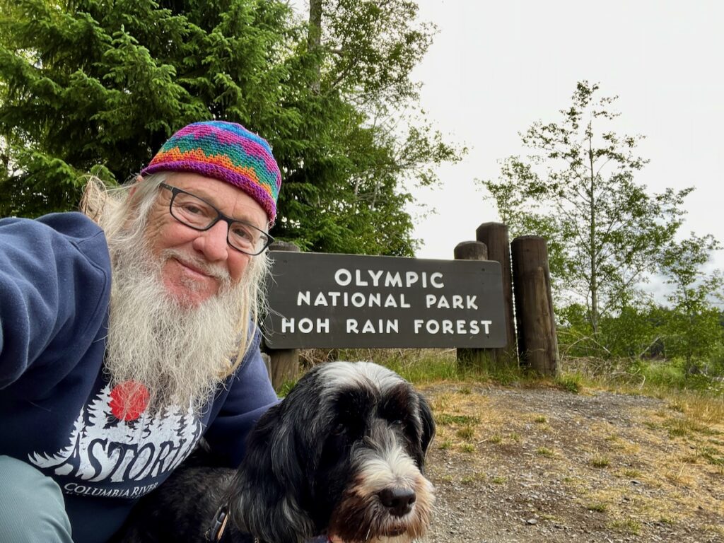
Tomorrow we leave Oregon and head back to my old home state of Washington. The weather forecast says it is supposed to rain while I visit the Hoa Rain Forest. Seems fitting!

Crater Lake

The Summer I moved to California my girlfriend and I made a trip to Seattle. Her cousin got married and she was part of the wedding party.

Eddie & Holly in Seattle, Summer 1975

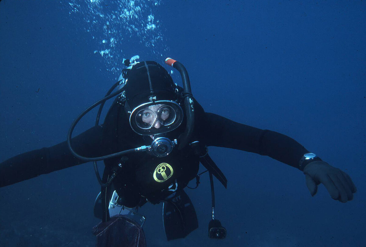
I had spent the earlier part of the summer diving with a couple of guys that ran a dive shop in Santa Maria. The group of us decided to meet up at Crater Lake on our drive up and go diving there.

We arrived and checked in with the Park Ranger. He told us that only a handful of people had dived there that he knew about. It was a hot, sunny day and we lugged our tanks, full wetsuits, and 40 pounds of weights a mile or so down a trail to the water. The trip back up was worse 🤣.

The water was a brisk 36F and you could see forever! There were large, volcanic boulders strewed around that you could move relatively easily. The only living things I saw were freshwater snails and sparse plant life.

It was an interesting dive to be sure. I am glad we did it because it is prohibited now! They are concerned, probably rightly, that invasive species could be introduced. Being from Florida I know how that can damage an established ecosystem.


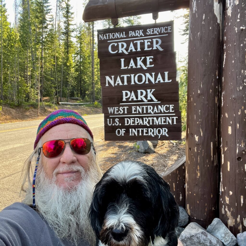
Some 48 years later, Jake and I headed out from Crescent City for a relatively short drive to Crater Lake. We mostly backtracked our route, taking time to see the sights on our way.

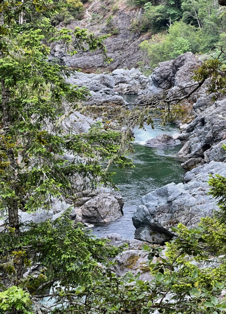
⁨Six Rivers National Forest⁩ on the Redwood Highway

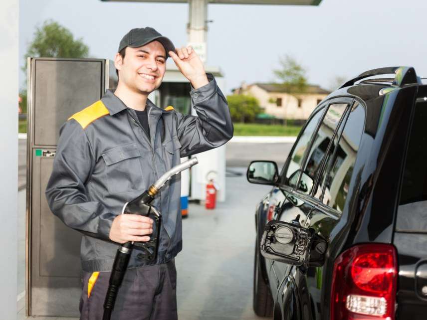
I stopped for gas along the way and was surprised to see a guy with a gas station attendant’s uniform standing by my window. I figured I got caught in a time warp back to the 60s before he reminded me that in Oregon you can’t pump your own gas! He even cleaned my windshield! I was flummoxed!

We made it to the RV park early. We got some great tips from the staff there for things to see nearby. After lunch and a nap, we headed back out again.

Natural Bridge

I would have named this site Underground River instead. It features a very cool section of the Rogue River that flows underground in an old lava tube.

It was an easy walk down to see the river. You could see where the water comes out and has carved out a cave downstream. It was an interesting, and different, sight.

Mill Creek Falls

The RV park sits across the highway from the small town of Prospect. One of the hikes at the south end of the town took us to Mill Creek Falls. Here, Mill Creek hooks up with the Rogue.

I wondered about the name of the town. I didn’t think there was any precious metal mining in this area. Turns out the residents changed the name in the late 1800s when a railroad was planned to run up the Rogue River. The residents thought it would improve the town’s prospects! Go figure 🤩.


Crater Lake

Suddenly – 48 Years later – Crater Lake

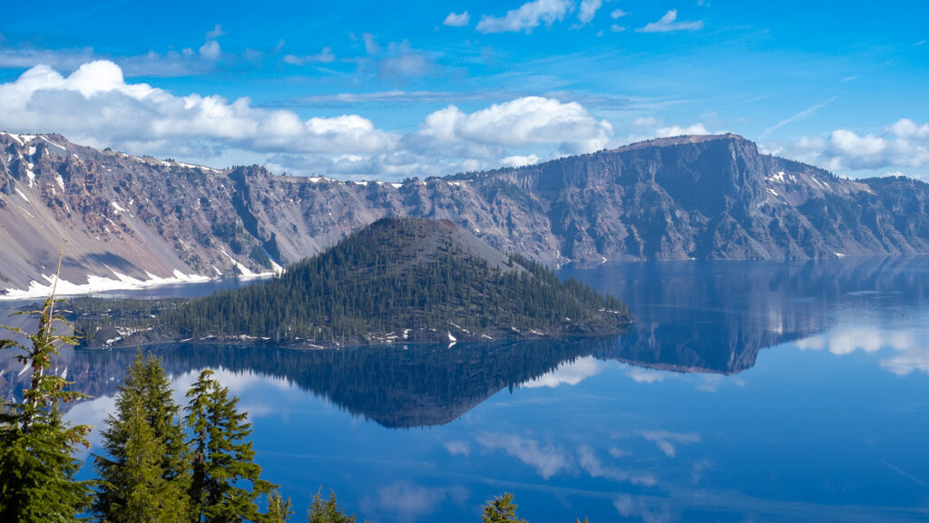
We left at a more reasonable hour to get to the park at 8 AM. We kept waiting to turn the corner (after corner) for the money shot. You pretty much had to park and find a place where the trees didn’t obscure the view – but the combination of blue sky & stunning clouds, really blue water, and the mountain & forest scenery were breathtaking.

Crater Lake & Wizard Island. We took a boat out to Wizard Island when we dove here 48 years ago. There were boulders in the water you could easily move they were so light due to the volcanic nature. And you could see forever…

We arrived early in the season so the drive around the crater rim was not open due to all the snow. There were two spots open at this point, the main area with the Lodge and Discovery Point about a mile counterclockwise.

We spent about two hours taking in the view and shopping for some tasty merch at the Visitor Center. On the way out around 10:30 AM a line was forming to get in. It would be pretty crowded with so little open at this point. I wish we could have seen more, but the memory of my previous encounter was intact! Simply stunning – nothing like it I have ever seen 🤩.

PS – Jake got his first taste of snow. He looked at it funny for a few seconds then it was pretty much like what he was already used to – the beach – just colder!


Rogue River Gorge

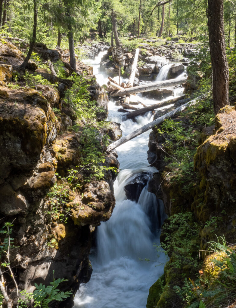
On the way back we stopped at the final spot suggested by the camp hosts. Right outside the entrance to Crater Lake is an excellent view of a deep gorge the Rogue River goes through.

Rogue River Gorge. I shot this with a slow shutter speed to emphasize the flowing water. This will definitely make it to the wall at home!

The access that was given to see the gorge was about the best I have ever experienced.

That plus the strong flow of the river made for both beautiful sights as well as sounds. An amazing place and I would highly recommend it.

Crater Lake RV Park

We really enjoyed this campground – It was a mix of seasonal residents and folks like Jake and me. They have a beautiful setting with some nearby walks to the Rogue River. One leads you to a large reservoir with warning signs about water being released at any time. That would have been a sight to see!


Tomorrow we head back for the coast for a drive up the Oregon coast. Our next stop will be in the Coos Bay area.

Center of the Universe

The indigenous people of this area believed that this is the Center of the Universe and that it was created when the first Redwood tree was planted. The aboriginal peoples of Australia believed rivers were created by giant versions of the Kangaroo dragging their tails across the land. Perhaps when that first pot of spaghetti came to a boil?

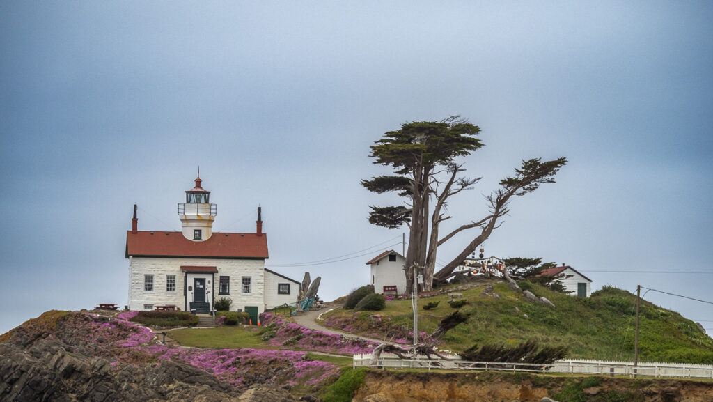
Hard to know but what a wondrous area this is! Where huge Redwood groves and mountains meet the sea. We started the first day with a drive to Crescent City. The city gets its name from the crescent-shaped harbor. There are two lighthouses, one near-shore and another further out on a rock.

Battery Point Lighthouse at Crescent City harbor

Bonus round for the Jakester! He found a long-dead seal carcass to roll in! He smelled less like something dead and more like a horse!

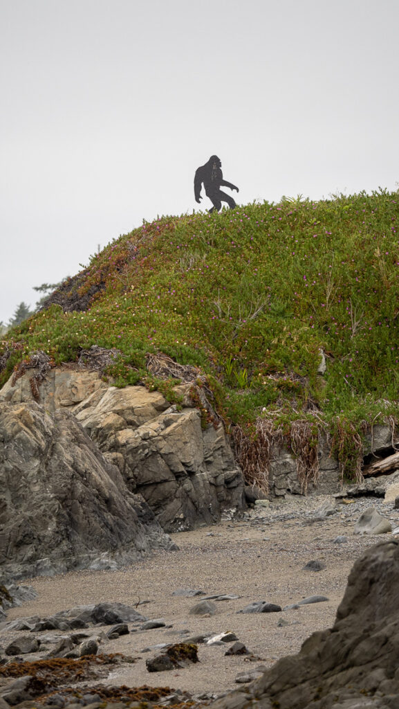
We also spotted Bigfoot nearby! I can totally see him living in the giant Redwood forests and coming down to the beach every once and a while!

Bigfoot Lives!

⁨Jedediah Smith Redwoods State Park⁩

Later that morning we took the advice of the campground and wound our way into the rear entrance to the state park. We marveled at the rear door!

⁨The eastern entrance to Jedediah Smith Redwoods State Park⁩

I marveled at the size of these beautiful trees. I had come through this area 45 years ago and remember how impressed I was then.

⁨Jedediah Smith Redwoods State Park⁩,

I imagined I was in the Entwood of Middle Earth and they slowly started to move! High in the Redwoods talking to the Trees 😎.

The Entwood of Middle Earth!

We spent the rest of the morning driving through the park. I put on some Kate Bush at one point – listening to her amazing, expressive voice while gazing at these wonders of nature brought me to tears. It was like I was in a dream.

⁨Jedediah Smith Redwoods State Park⁩

The trees were alive and talking to all of us. Their speech is so slow and long for creatures such as us with such short life spans.

We crawled inside a hollow tree for an interesting view!

Inside a hollow, burnt-out tree stump!

We did a hike at Stout Grove which lead down to the nearby Smith River. We were both exhausted by the end!

On the way out we drove through a beautiful wooden bridge. I wondered why it was here. The design was stunning – some architect’s dream I suppose.

A beautifully designed wooden bridge outside the park

‎⁨Tolowa Dunes State Park⁩

Dune Forest

The last excursion for the day was a hike near the ocean close to the campground. We found this state park with a walk in the dune forest.

⁨Tolowa Dunes State Park⁩.

It was interesting and thick with mosquitos. As long as you kept moving you were ok!

We arrived home late and were both exhausted. The good news is that most of Jake’s stink had worn off from the day’s activities! We slept well!


Day 2 in the Redwoods started out with a synchronization error between the forecasted and actual weather. The former showed a sunny day ahead. The reality turned out differently as the fog never quite lifted closer to the ocean. We tried again to find some access to the cost that didn’t require a strenuous hike. So we looked at more trees. Even bigger ones!

⁨The Big Tree at Prairie Creek Redwoods State Park⁩. Jake couldn’t believe how big it was!

Our first stop was along a stretch of 101 that popped out at the coast. Beautiful black sand beach with large driftwood logs.

Wilson Creek Beach

We then drove part of the Coastal Scenic drive around the Klamath area. The land here is maintained by the local indigenous people the Yurok. Part of the area was designed as Ceremonial Grounds. Off in the distance, a Harem of Seals (seriously, I looked it up!) was resting on the long sand spit. It is a beautiful spot!

⁨Prairie Creek Redwoods State Park⁩

Driving further south, we drove the road through ⁨Prairie Creek Redwoods State Park⁩. The road ran roughly parallel to 101 but through some very old-growth redwoods that dwarfed (almost) the trees we saw yesterday. The highlight was the aptly named Big Tree about 3/4 way through the tour. Despite the weather on the coast, the area was clear and bright,

⁨Prairie Creek Redwoods State Park⁩

We stopped at the Big Tree for a look and a short hike through the groves. The trees, some of which were over 1500 years old, made a lot of the ones we saw yesterday look like youngsters! Stunning!

We stopped in the local Visitor’s Center there and scored some great merch! We abandoned any hope of seeing a sunny coast and headed north back to Crescent City.

Crescent City⁩ from the south

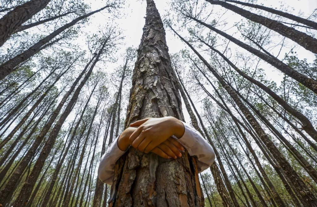
We had a great couple of days where the Giant Trees meet the rugged Pacific Coast. Back at the campgrounds I found a suitable tree to hug and told it that I loved it. They were here long before me and will be after I return to star-stuff. I guess that makes me a tree hugger. I like it!

The next stop is another revisit – this time to Crater Lake – a relatively short drive from here.

Volcanos and Redwoods

Our first of two days drive to the northern California Coast took us through the northern Sierra Nevada mountains into Volcano country. Here the Sierra Nevadas end and the Cascade range starts.

Northern Sierra Nevadas near Honey Lake

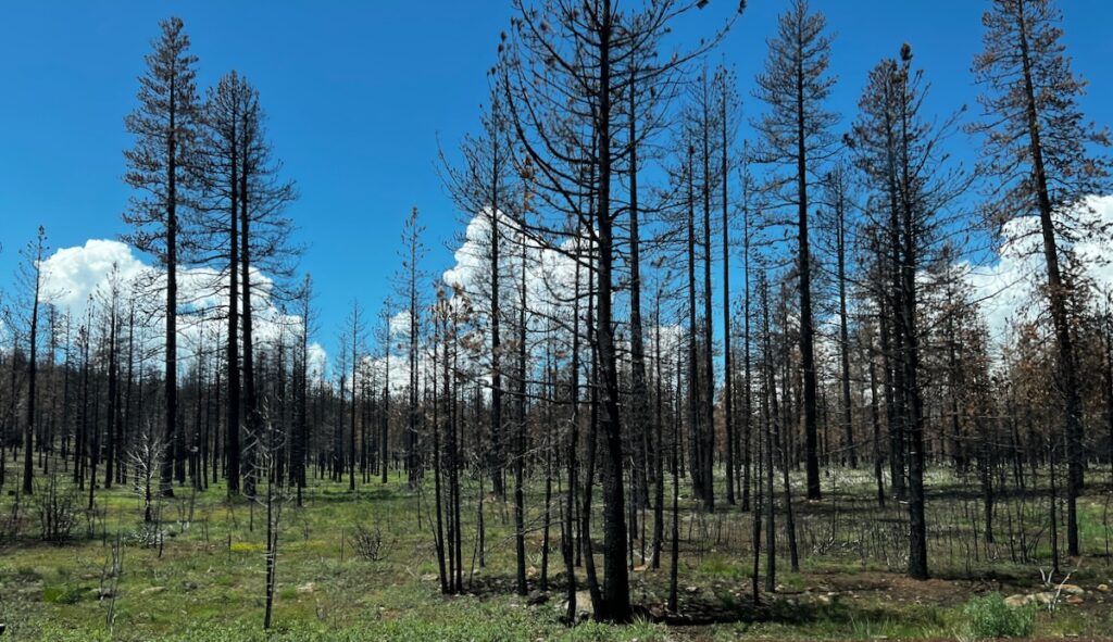
We passed several large lakes. Because of the heavy run off the water was any other color than blue! The last half of the drive was mostly in thick forests. Many areas had been ravaged by fire.

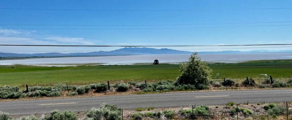
Honey Lake in the northern Sierra Nevada mountains. All the lakes I saw were very full and looked either gray or brown from the heavy runoff.
Fire-ravaged areas in the Northern Sierra Nevadas

Later in the day, we entered the area around Lassen National Park. Some of the landscape was littered with ejecta from ancient eruptions. It is the southernmost Volcano in the Cascade Range which goes north into Oregon (Crater Lake, Mount Hood) and Washington (Mount St Helens, Rainier, and Baker).

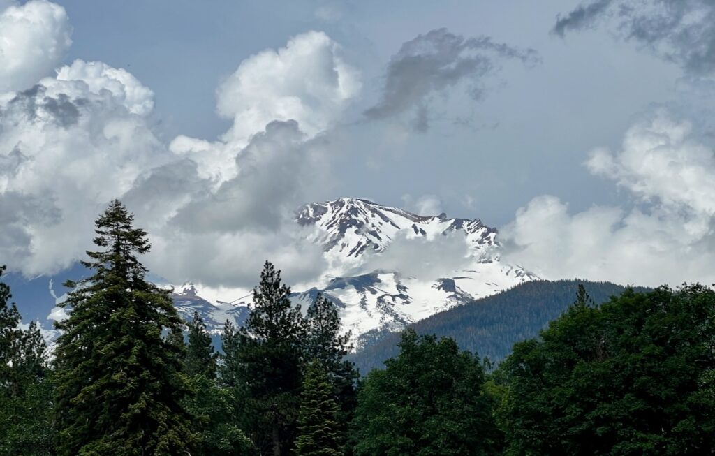
Mount Shasta

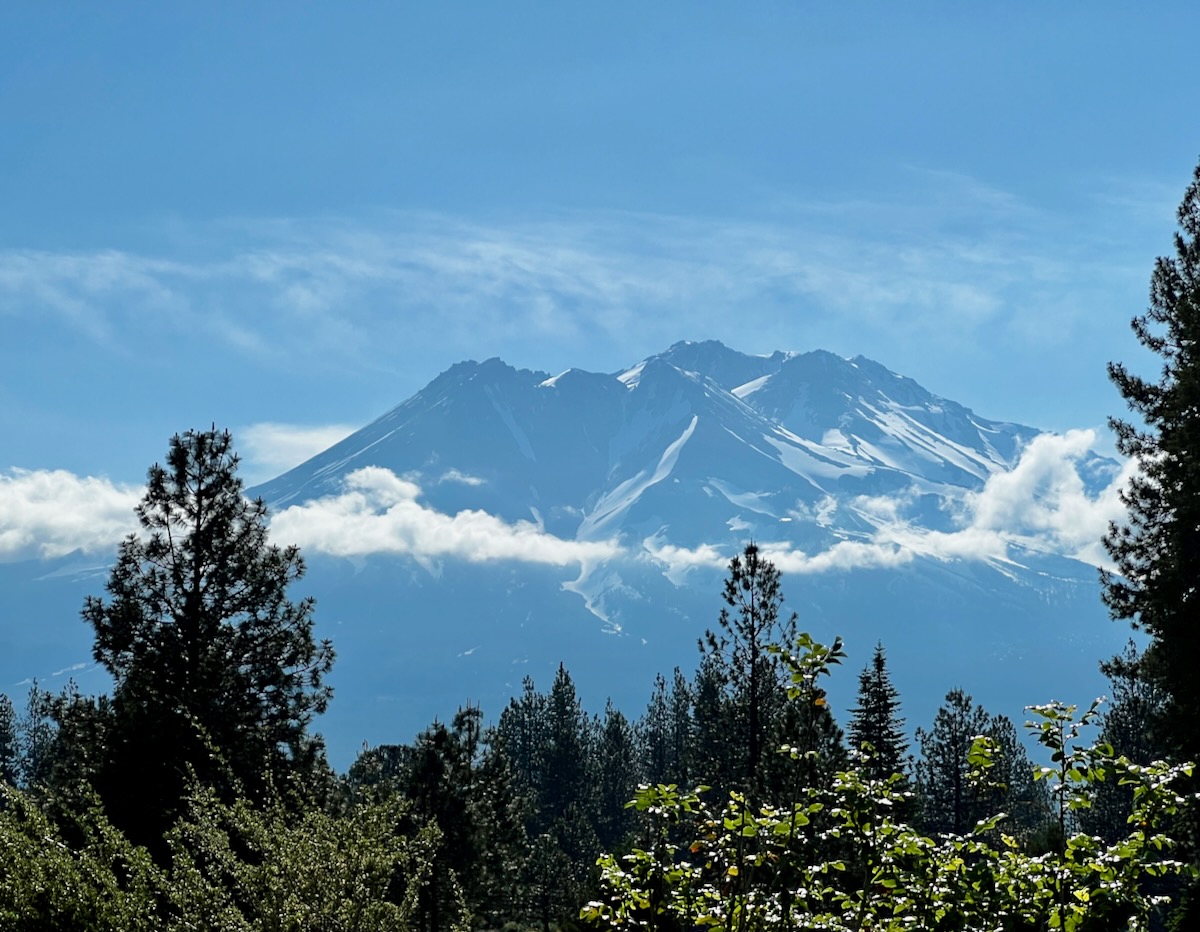
Mount Shasta
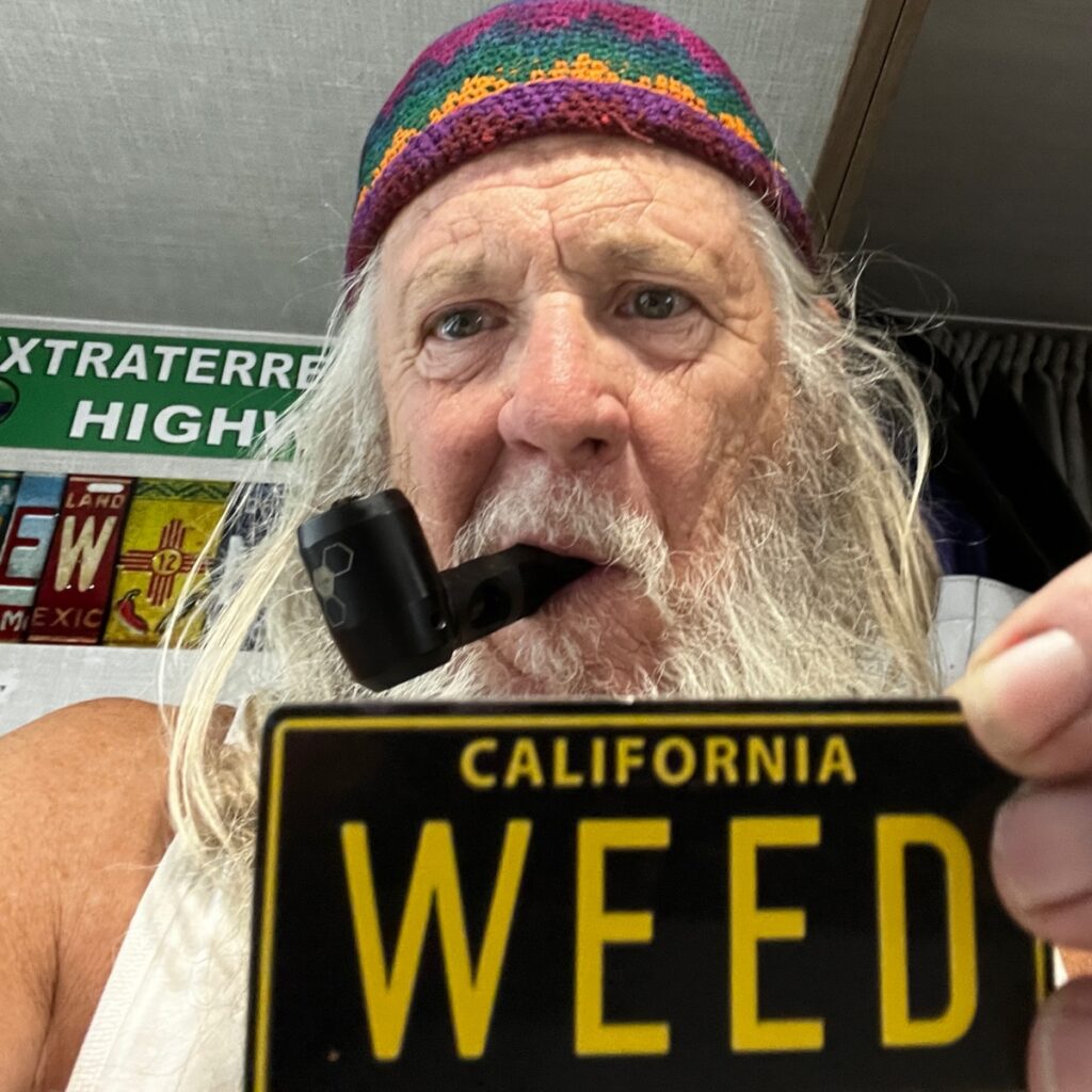
Weed California

Mount Shasta is a potentially active volcano that lies north of Lassen along I-5 and was our stop for the evening. It is the second-highest peak in California at just over 14 thousand feet. The weather was cloudy and threatening thunderstorms. A highlight in the area is the town of Weed. Full of t-Shirt shops supporting all manner of Marijuana-themed merch! The whole area, like Yosemite, is a destination for people enjoying the outdoors.

We stayed at a KOA that was to the east of Mount Shasta near I-5. Tomorrow will be a shorter drive up through California into Oregon and then drop back down into California along the northern coast.


Our second day began with a photo op of the mountain before disappearing into the clouds. From there it was a spectacular drive north into southern Oregon.

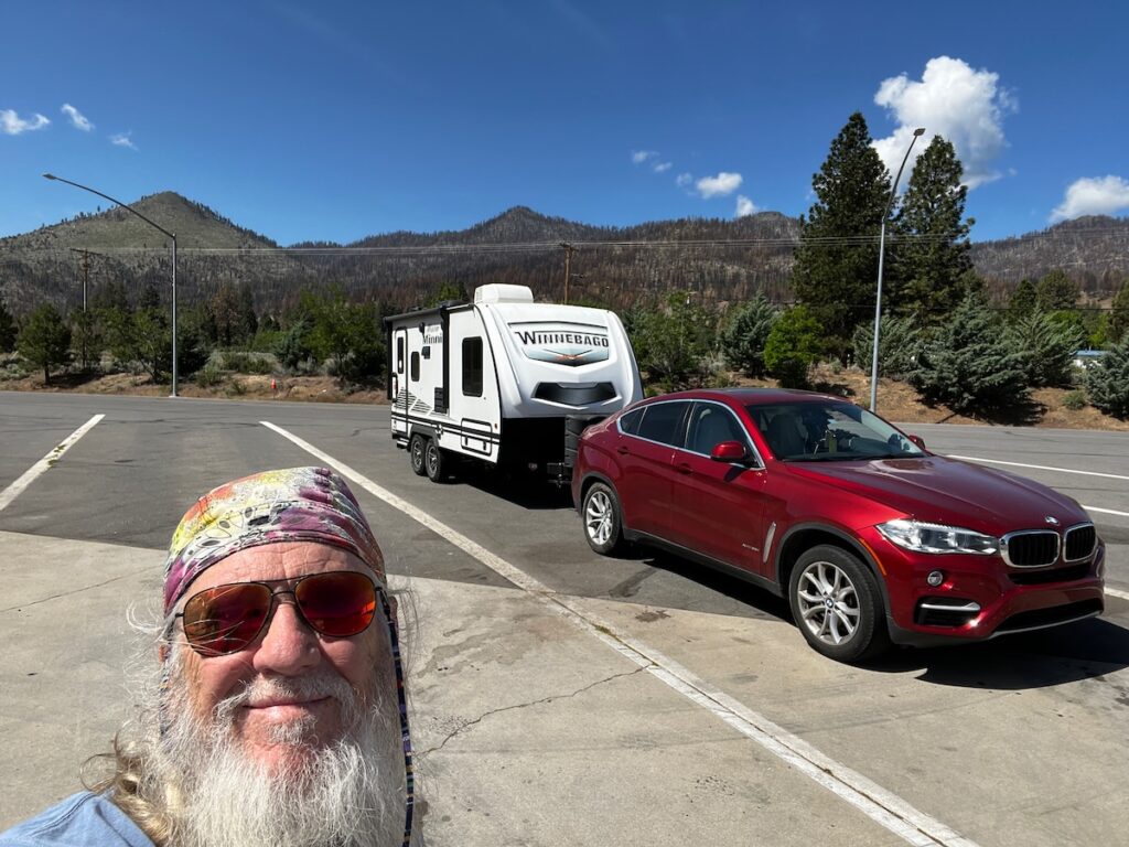
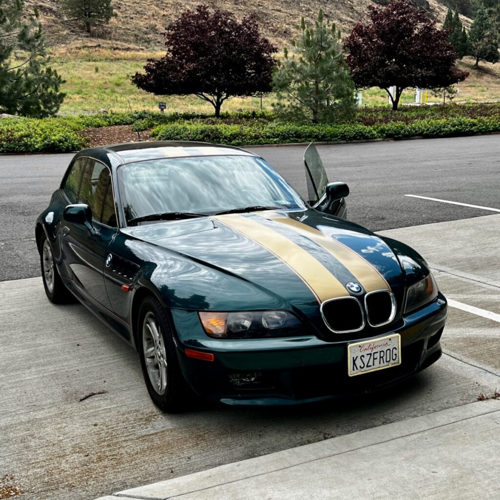
1999 Z3 Coupe. The original owner driving north at the rest area we stopped at. The baby brother to my M Coupe is even more rare. This one had only 43K miles on the clock!

Once at Grant’s Pass, we tacked left onto the famous Redwood Highway US 199. This drive started a long wind down to the coast. The last part was through Rewoods National / State Park.

⁨Redwood Highway 199

It was stunning and whetted my appetite to visit some of the famous groves of these majestic beauties!

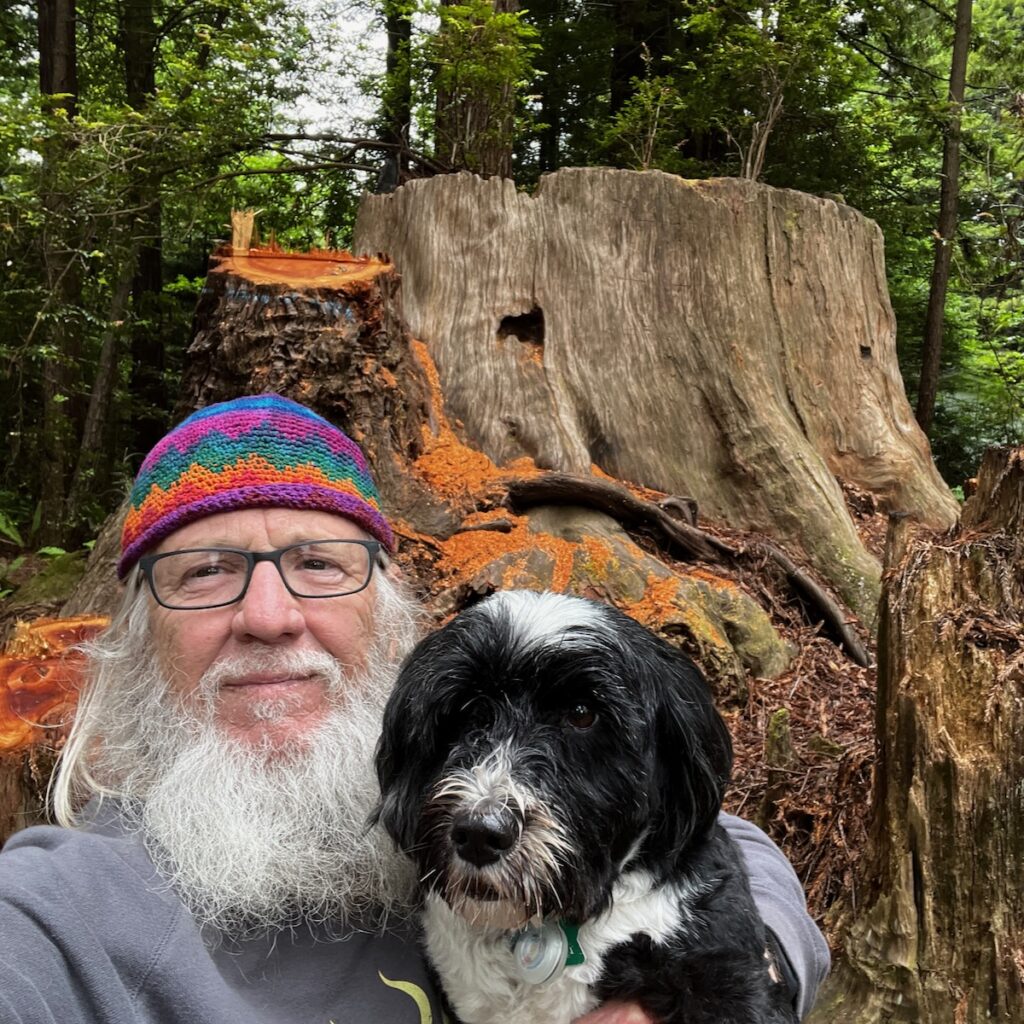
Huge tree stump at the Crescent City Redwoods KOA

The campgrounds are very nice and feature a petting zoo – of sorts! Well, they have goats and chickens anyway!

We look forward to exploring the area for the next couple of days.


Bonanza

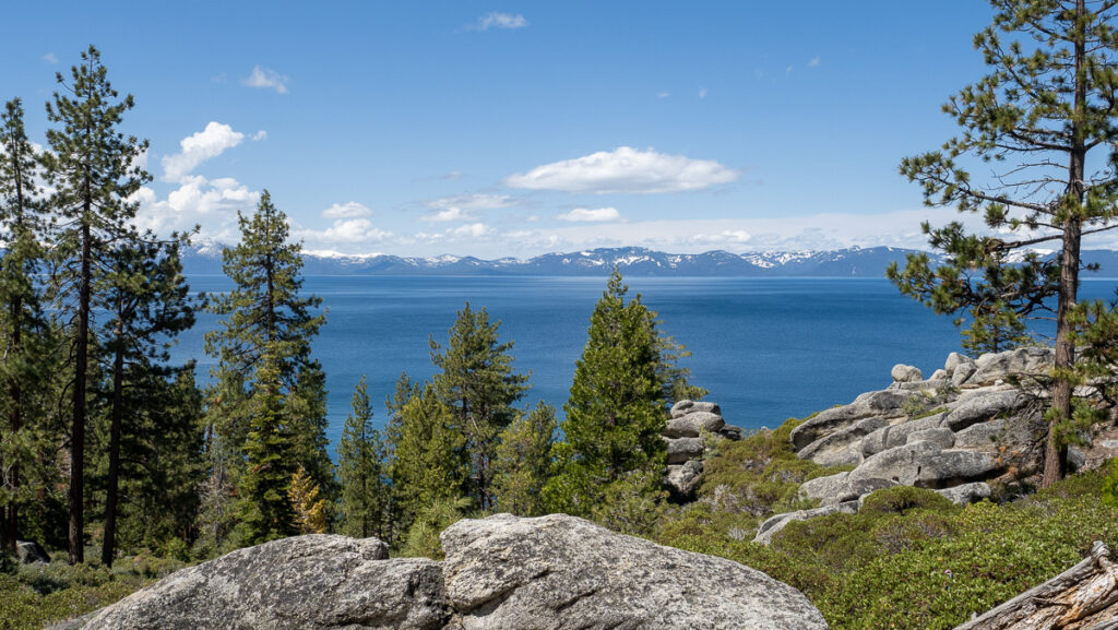
We visited Lake Tahoe on the first day in the area. We drove south again and entered the middle of the east shore. At 6,200 foot elevation, Lake Tahoe is the largest alpine-feed lake in North America. The water was amazing blue in the bright morning sun.

Lake Tahoe viewed from the east shore

We visited Chimney Beach, a short drive north from where we entered. The trailhead was pretty steep but I made it down with Jake’s help 😉. Getting back was another matter, as the trail was not particularly well marked!

Lake Tahoe

From there we drove to the south end of the lake and the resort town of South Lake Tahoe. T-shirt shops abound together with flocks of tourists that come to visit the winter ski town turned summer lake resort. Perfect place to pick up a few souvenirs!

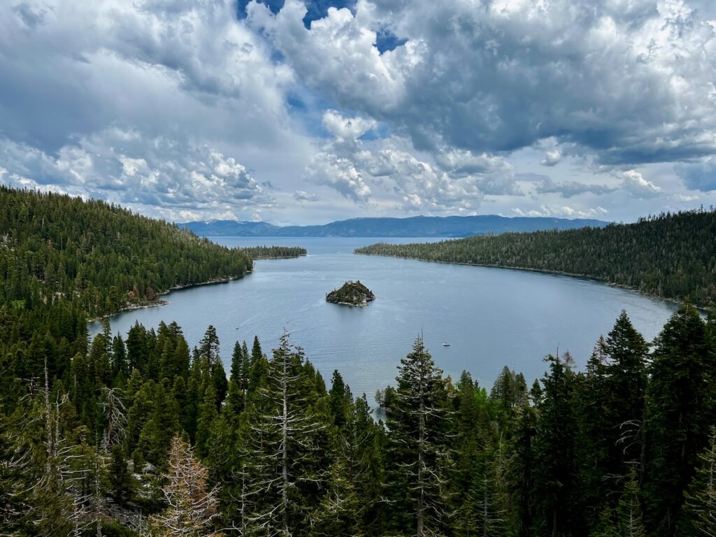
Emerald Bay on Lake Tahoe’s western shore.

We then drove up the western (California) side of the lake. There are several state parks in the area and it was packed with people in the afternoon. We finished our drive heading back to Reno and a very long and fast downhill back home.

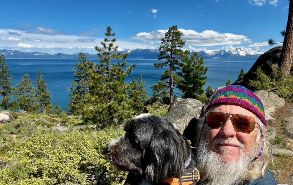
Lake Tahoe from the east shore

Virginia City

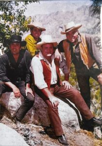
Ben and the Boys

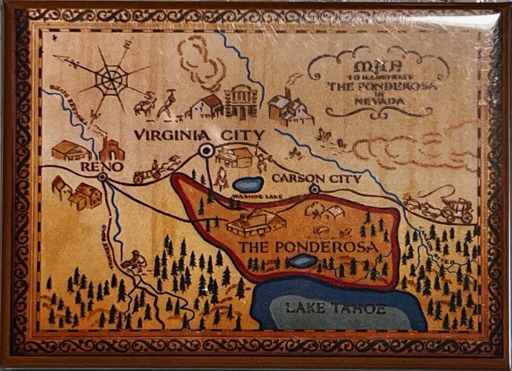
When I was visiting Virginia City I talked to a woman working in a souvenir shop about Ben and the Boys. She told me she always had a chuckle when they hopped on their horse and the next thing you know they are in Virginia City! Big place, the Ponderosa!

I found a recommendation for the Chollar Mine tour and decided to check it out. The drive this time was south and west of Reno. I once again climbed a twisty mountain road to reach the top of Geiger summit. Named after an early pioneer in road design and construction, it was the main road into Virginia City (and why the comment from the woman in the shop!).

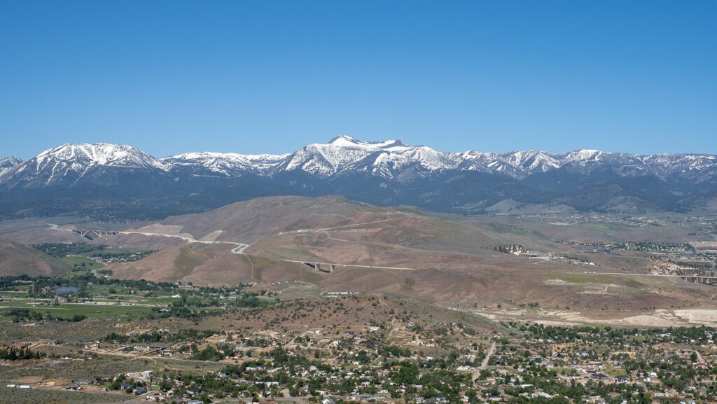
Lake Tahoe mountain range from Geiger grade

Virginia City turned out to be a top-shelf tourist trap complete with Fuck You Biden flags waving on every street corner. The vibe was distinctly hostile as I trod up and down the mish-mash of old buildings.

We fled as soon as we picked up some unique merch. Always on the lookout for that.


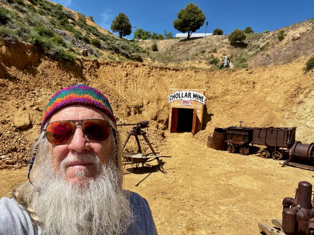
Silver mine tour – Chollar mine – the last mine to open in the late 1800s before the juice ran out!

The mine tour was a different vibe completely. I was the first car there – until three more arrived moments later! We had a good-sized group with younger children. The guy that ran the place was super knowledgeable about the history, names, dates, etc., and pretty much went on ad-nausea! Regardless, the information was interesting and delivered in a memorable style!

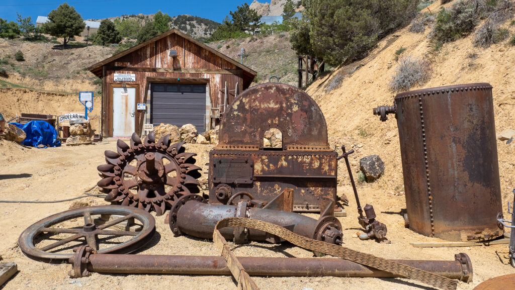
Old mining equipment outside on the grounds of the mine. Automation did not come at first and everything was done by hand.

The dealings, politics, and power plays he recanted spoke of a rag-tag group of men who stayed on in the area while headed for the California gold rush. Turns out it was a bust for gold but they found the largest silver veins ever discovered. Unfortunately, silver was going out of fashion in the late 1800s to be supplanted by gold. The whole 20 years of 24-hour-a-day mining went down the drain. At the peak, 25,000 people lived here!

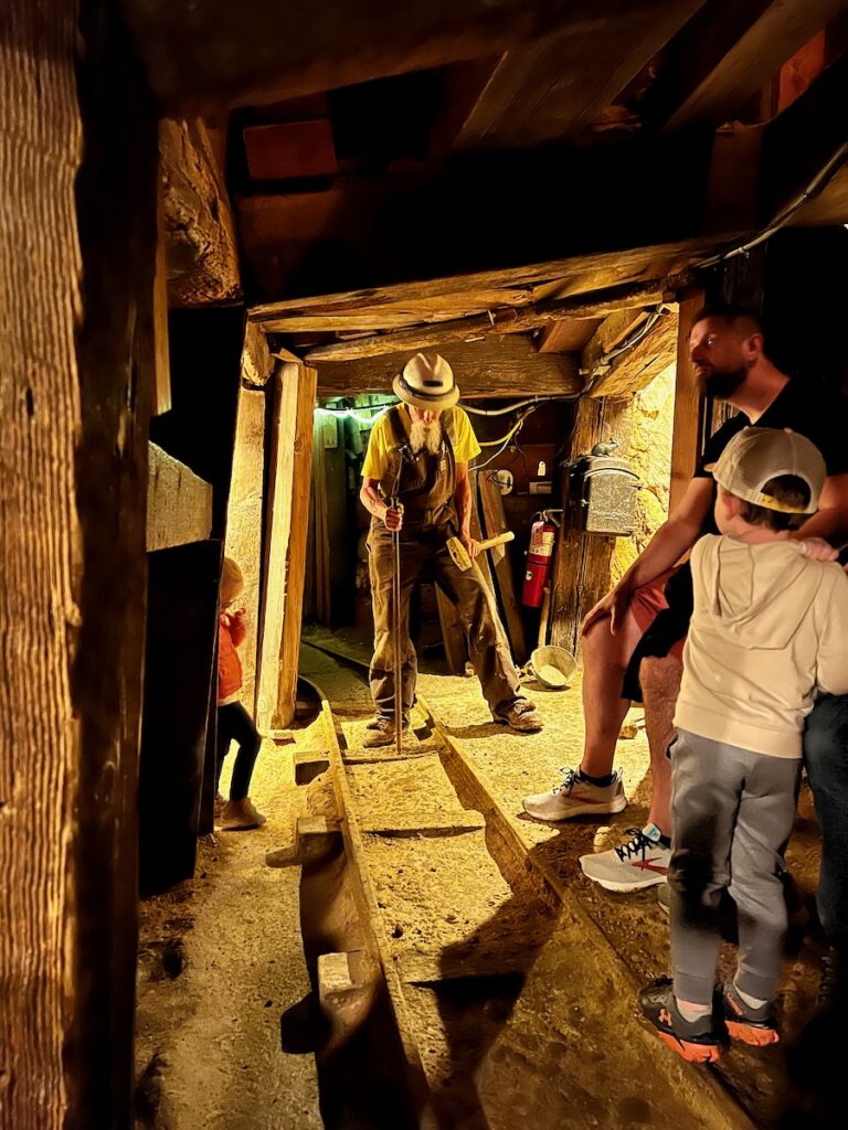
Richard demonstrated how the mines worked before automation – with chisels and hammers. Miners got paid $4 a day. The bucket operation is $4.50! Your life depended on the bucket operator!

Then we were passed off to Richard to take us 400 ft back into the mine. It was damp (again that heavy winter rain) and I banged my head a couple of times. At the end was some equipment set up and the caved-in entrance to a shaft for one of the ten tunnels below this one!

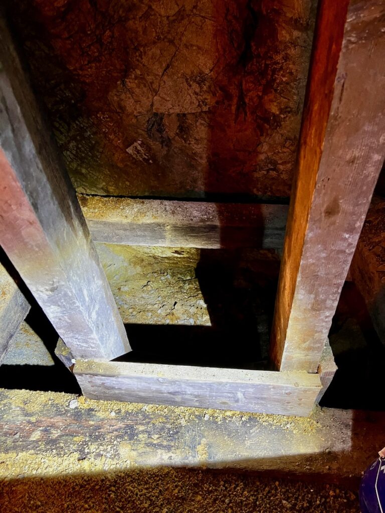
Shaft to 10 tunnels below. The cable operator was the most important man in the mine. To disturb him was to lose your job immediately. Everyone’s life depended on him.

Richard later told me he was a long-haul trucker for 50 years before retiring here. He played the part well of an old miner and had a good – and very frank – assessment of what it was like to work in the mines. It sounded pretty bleak, like the life of a conscripted sailor in England in the 1600s! You were lucky if you lived much past 30 and only a very few men ever became rich (but they became very, very rich!)

They told us that the idea that Virginia City was a cowboy town was a myth. It was an industrial town with dozens of rock crushers, rail lines, and ariel buckets moving ore. A full-up production. And when the bottom fell out of the silver markets, it slowly morphed into a T-shirt town for tRumpers!

The Ponderosa

Thanks and goodbye to Ben and the Boys!


We wind up our three nights here. Check another one off the bucket list. We head out in the morning for Shasta Mountian.

Rim of the World

We headed out early – 7:30 AM – our earliest start so far. I wanted to be able to take my time getting to our next stop. The route chosen took us right through the heart of the Sierra Nevada Mountains.

⁨Stanislaus National Forest⁩ on our way out of Yosemite Lakes

We left the area around Yosemite and headed north. There was another couple of windy sections as we traversed mountain areas into a different valley. At one point the road got pretty narrow and rough but it was worth it to get a taste of the rural areas.

Sierra Nevada Mountains on Highway 88.

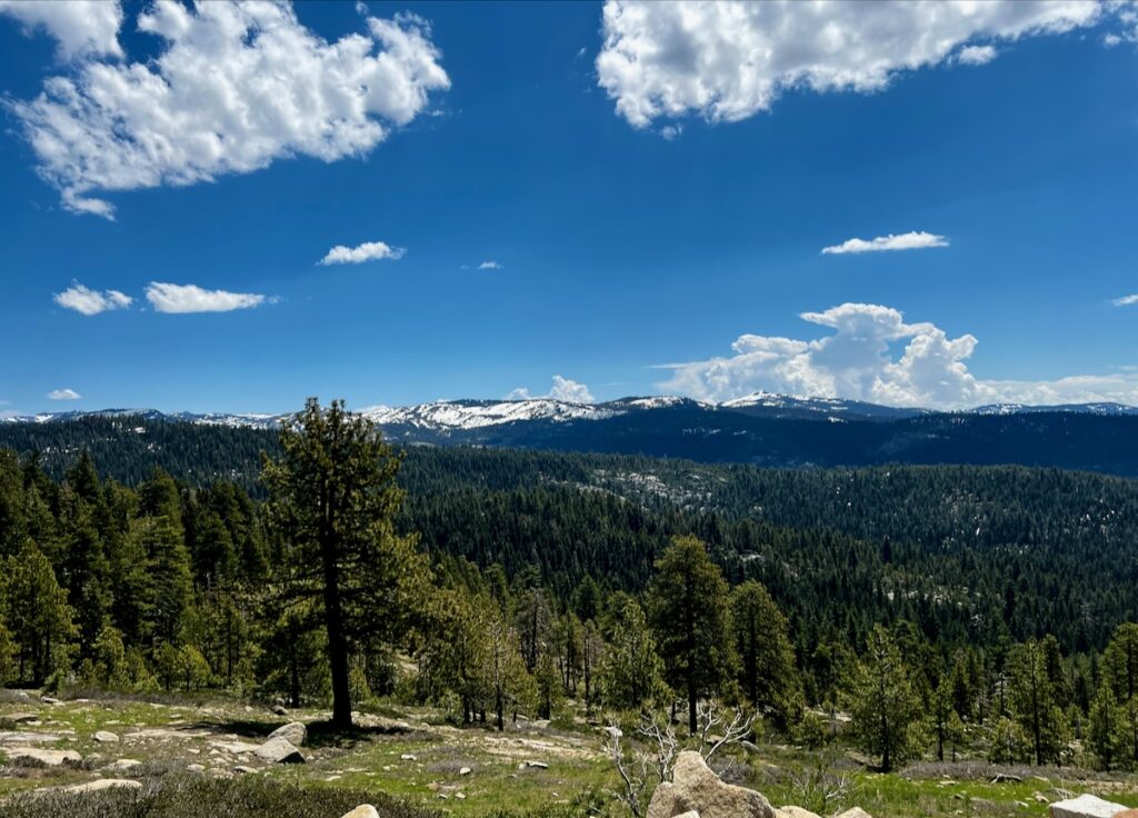
Before crossing into Nevada we crossed over Carson Pass. At a peak of about 9000 ft, it offered epic views of the Sierra Nevada range. Historically it played an important role in the California Gold Rush as well as shipping during the Civil War.

We saw several places that had been badly damaged by fire. The water levels in the lakes looked very full from the winter rains.

Sierra Nevada Mountains

Bonanza

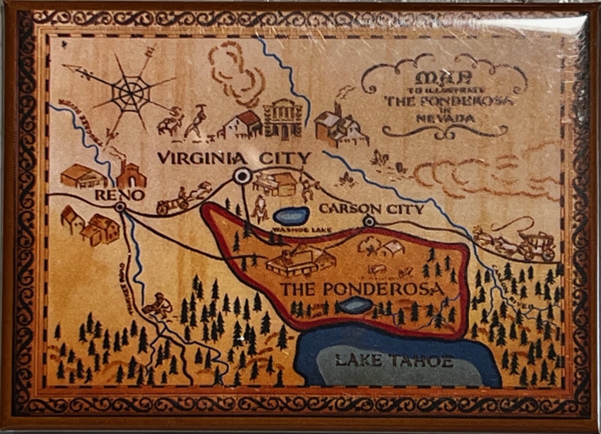
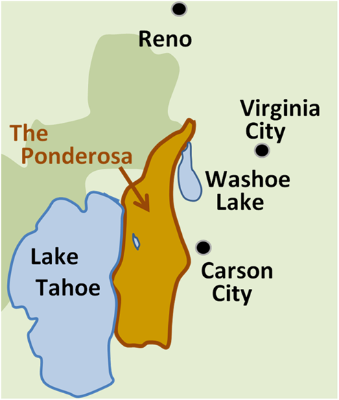
Surmised location of the Ponderosa in the TV series Bonanza

Once in Nevada, it reminded me of the front range in Colorado as we drove north along the east side of Lake Tahoe. When I saw Virginia City it dawned on me I had seen this place before – on Bonanza! The lyrics to the song are great!

The claim we hold is as good as gold, bonanza!
Hand in hand we built this land, the Ponderosa Ranch
Our birthright is this Cartwright bonanza!
We here belong, and standing strong, wrong ain’t got a chance.

Manifest Destiny at its finest!


The campground we are staying at, like in Las Vegas, is associated with a nearby casino – Boomtown! As we set up camp the weather started looking like rain! We haven’t seen any of that stuff since driving through the South.

In the next couple of days, we will explore the Ponderosa and Lake Tahoe. Hopefully Jake will get his first experience with snow as we cross into Lake Tahoe from where we are staying outside Reno.


Yosemite

Yosemite has been on my bucket list as long as Glacier. It always seemed out of the way so I made sure it was a must-stop on the route. I have seen pictures since I was young and always heard about the infamous El Captian and the adventurous souls who choose to climb such things. I have to say that it was very different than I expected. I have seen a lot of canyons in various locations but never anything in Cali. The place is – if anything – a monument to this stunningly beautiful state.


We woke at 3 AM and started the 2 1/2-hour journey to Yosemite Valley. The route was a backtrack for the first part, including yesterday’s award-winning twisty path. Jake got car sick and threw up in my lap 😒. Poor puppy 🐶.

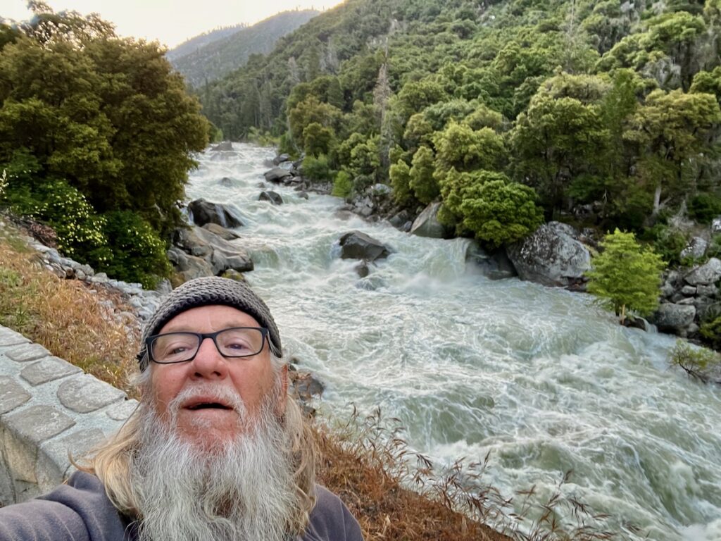
The drive in took us along a roaring Merced River. Several sections of the road were severely damaged but the detours were minimal.

Yosemite National Park

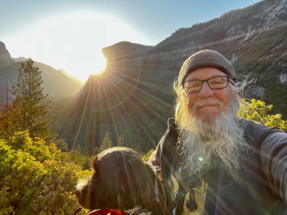
Once in the park were headed to s vista known as Tunnel View (it’s at the opening of a tunnel) to watch the sunrise over Yosemite Valley at sunrise! We arrived with mere minutes to spare.

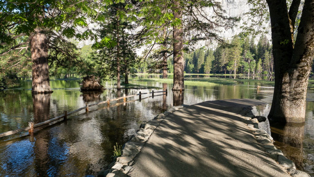
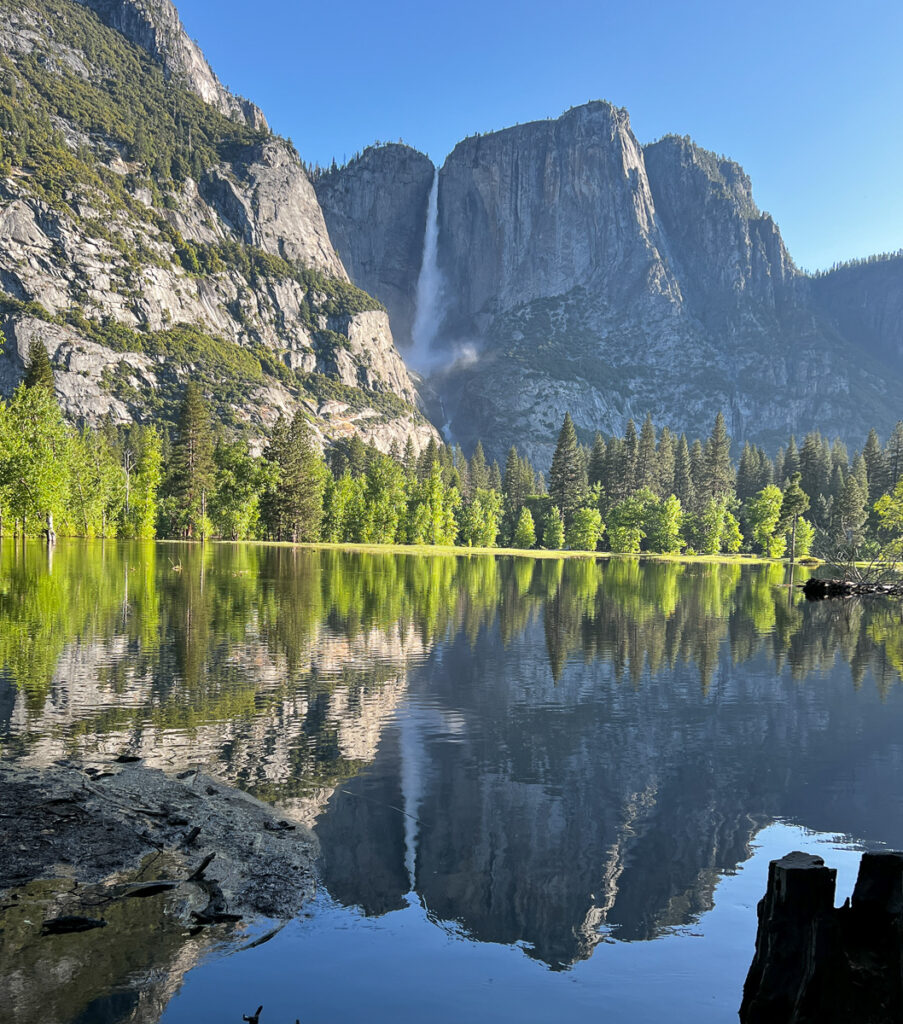
The drive through Yosemite Valley is a one-way loop. In the beginning, there was a big operation to remove huge large trees that succumbed to the winter flooding. Our first stop on the drive eastwards was at Swinging Bridge. The area was really flooded, with giant trees standing in the water. It offered incredible views of Upper Yosemite Falls.

The bridge disappears under the floodwaters. Huge trees stand in the middle of the new lake.
Stunning view of upper Yosemite Falls

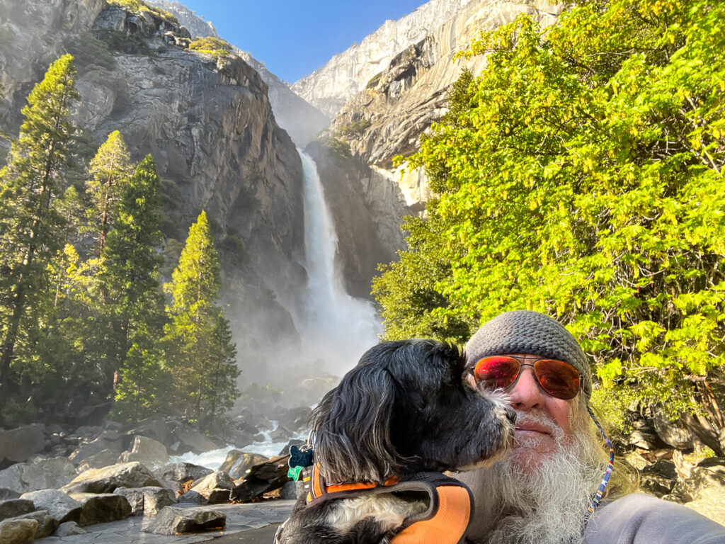
From there we drove around the loop and were now moving westward. We stopped at the Village to hike to Yosemite Falls.

At the base of Yosemite Falls. It was like a blowing mist and roaring loud!

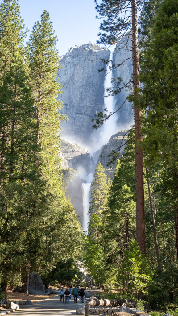
The Falls were roaring with water – it was a moving sight! No one I talked to who had visited before had seen it flowing like it was. A stunning sight!

Yosemite Falls

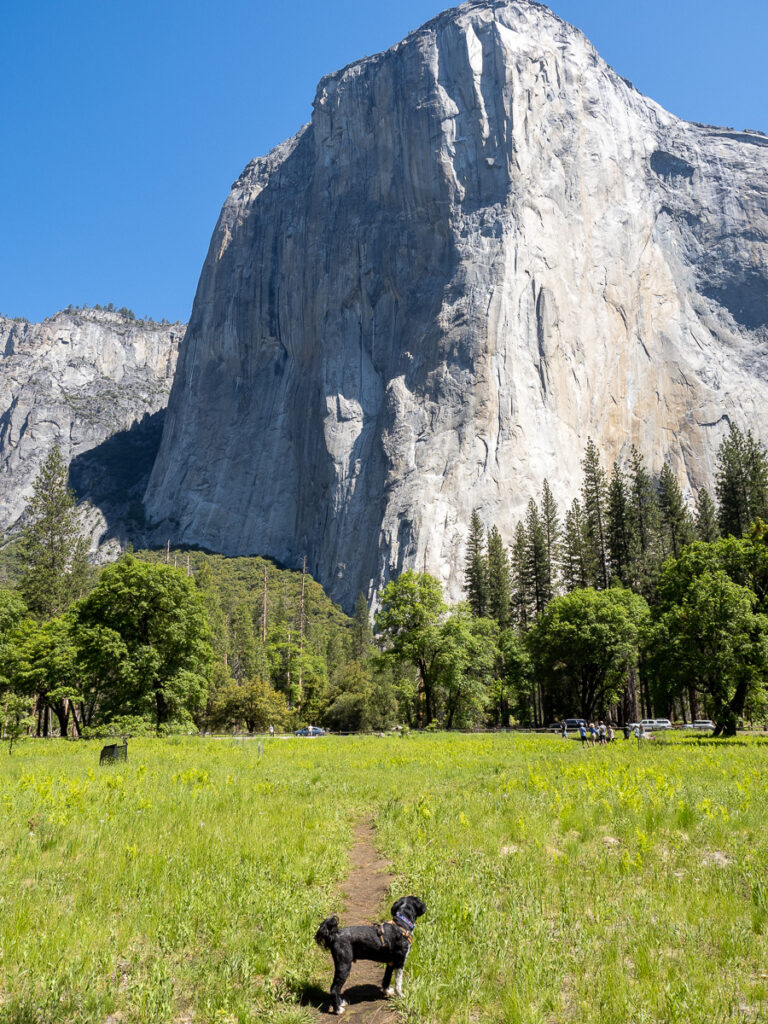
The next stop was further east. I have heard about El Captain forever it seems. Apparently a big attraction for the scare-yourselves-to-death climbers. It is so big it’s really hard to believe. At least Jake thinks so!

Fuck – this thing is BIG!

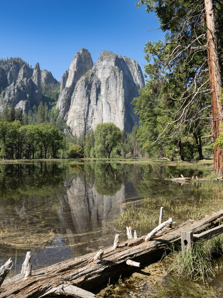
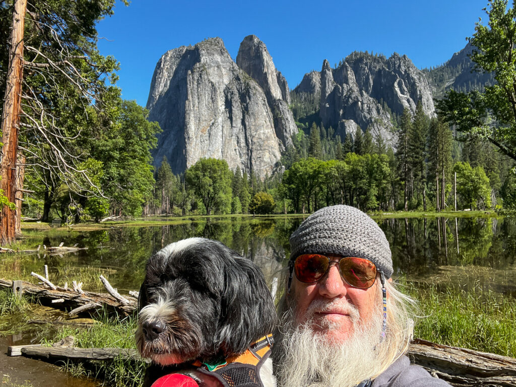
If you look 180 degrees in the other direction is Cathedral Spires. Another magnificent view!

Cathedral Spires

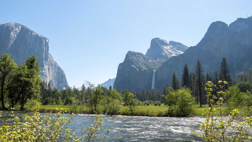
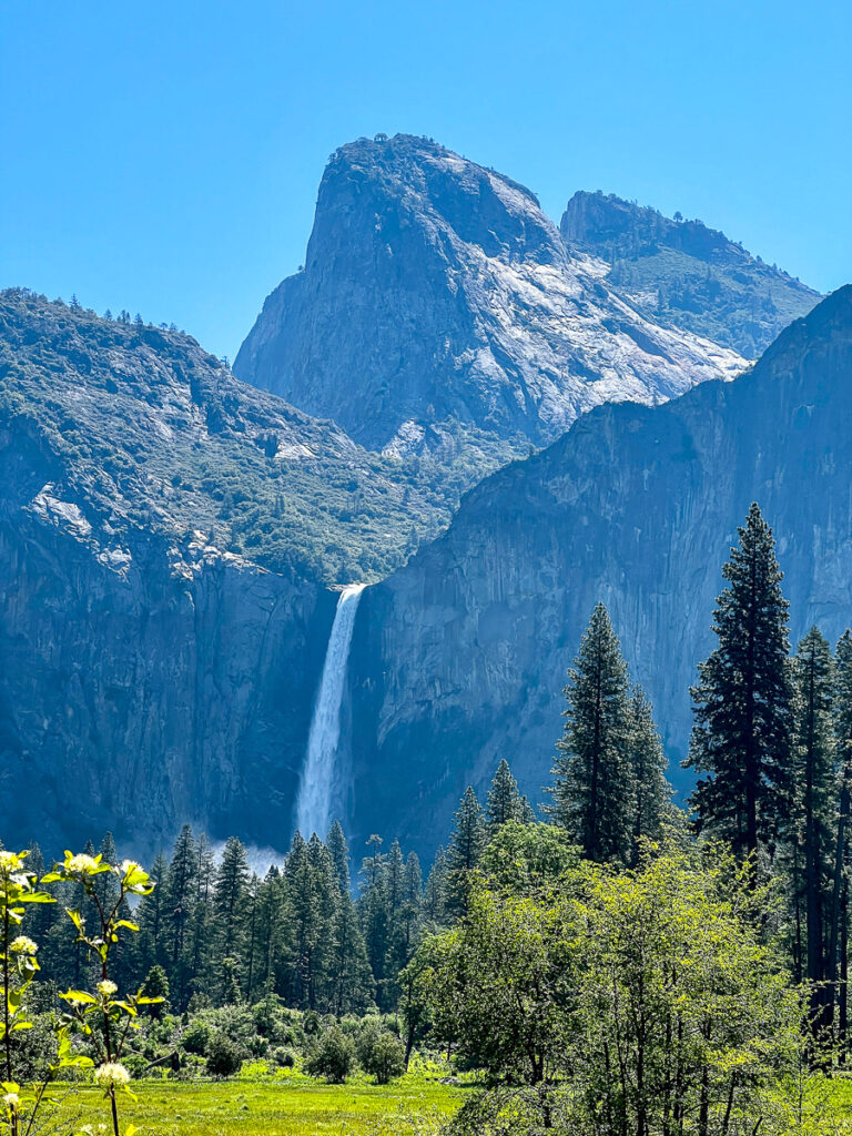
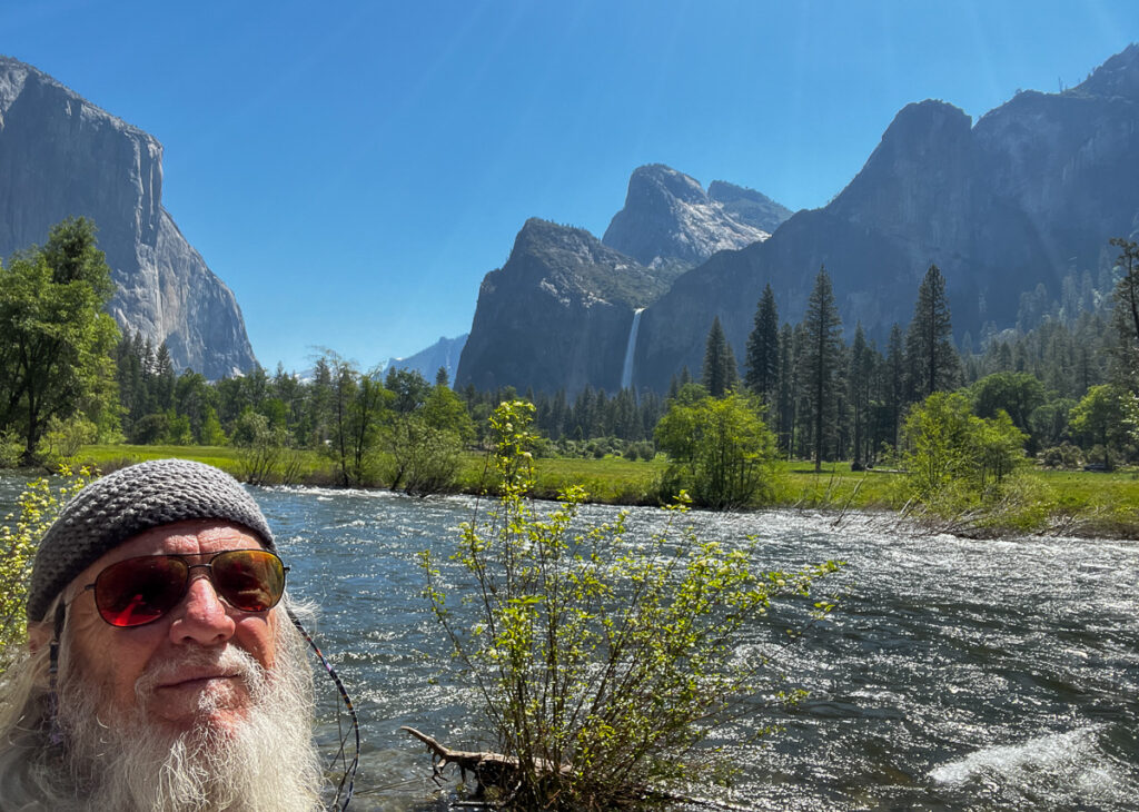
The final stop (before looking for merch!) was at Valley View. This is another view you see quite often of the valley looking east. On the right side, you can see an excellent view of Bridalveil Falls!

Bridalveil Falls

After picking up some great collectibles, we headed home around noon. The line to get in was long – according to the markers a ten-minute wait. I can only imagine what it would be like on the weekend! The park was pretty crowded around Yosemite Village and lodges but you could still find parking spots.


A great day – another 2 1/2 hours home! In the daylight, this time at least, Jake didn’t get sick!

Yosemite Lakes

On day 2 we took off and did some housekeeping. After lunch, Jake and I did a short (but steep) hike on the other side of the river from where we were staying.

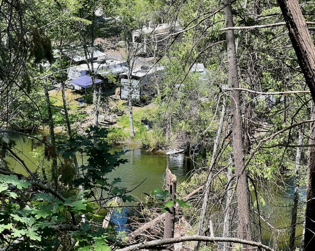
Campground on the banks of the south fork of the Tuolumne River.

The hike rose steeply to afford a great view of the campground and the south fork of the Tuolumne River. This is the river that flows out of Hetch Hetchy which I will visit tomorrow. We also saw many large trees with significant burn marks as well as others that suffered irrevocable damage.


Hetch Hetchy

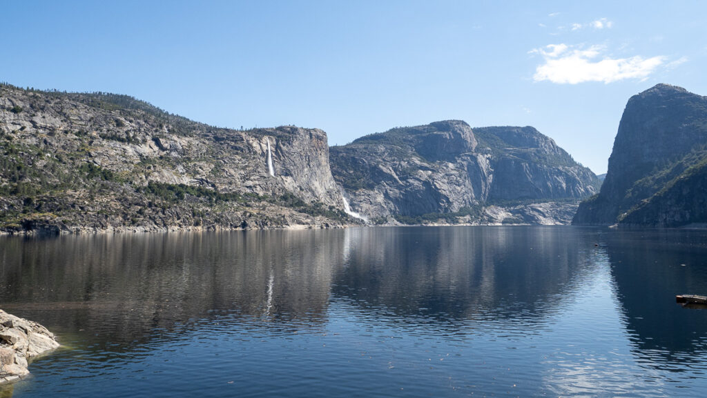
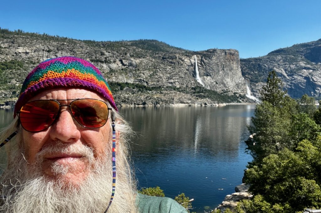
Hetch Hetchy at Yosemite National Park

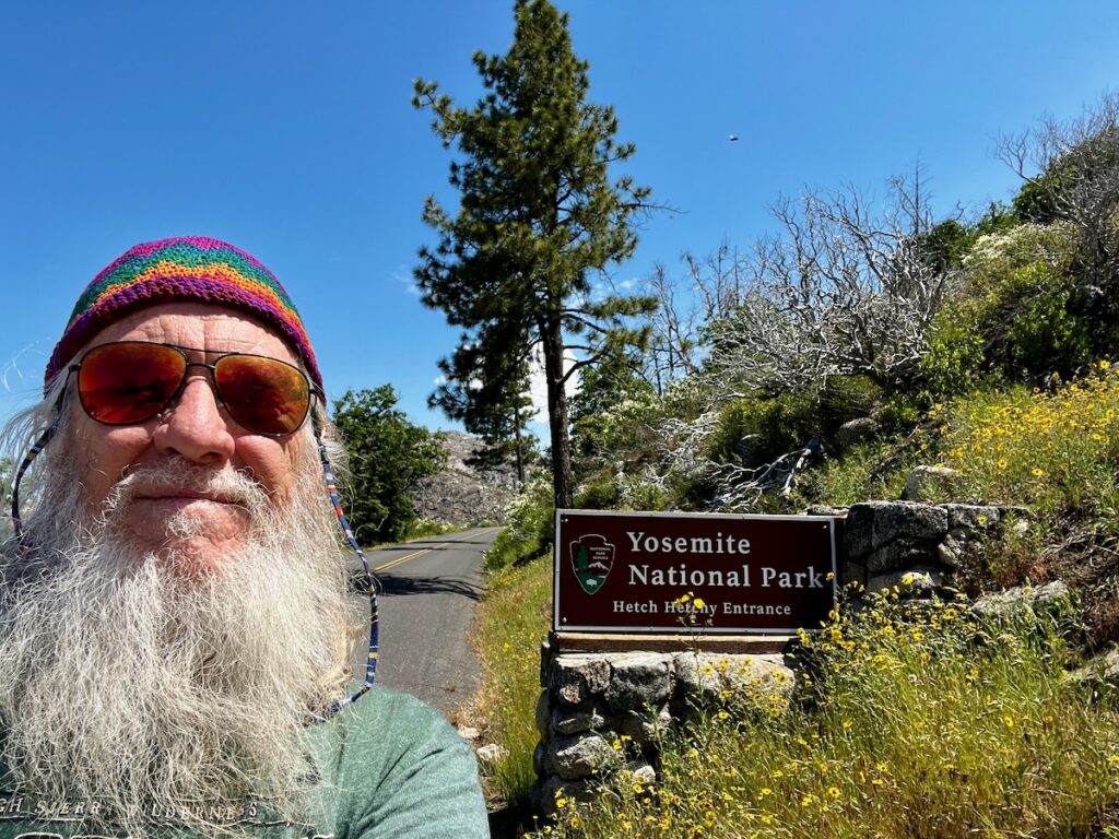
Jake got the day off on our third, and last, day in the Yosemite area. I was heading for Hetch Hetchy, another part of Yosemite only 20 miles from here. It is the reservoir for San Francisco as well as a power generating plant. No dogs allowed!

Hetch Hetchy Reservoir

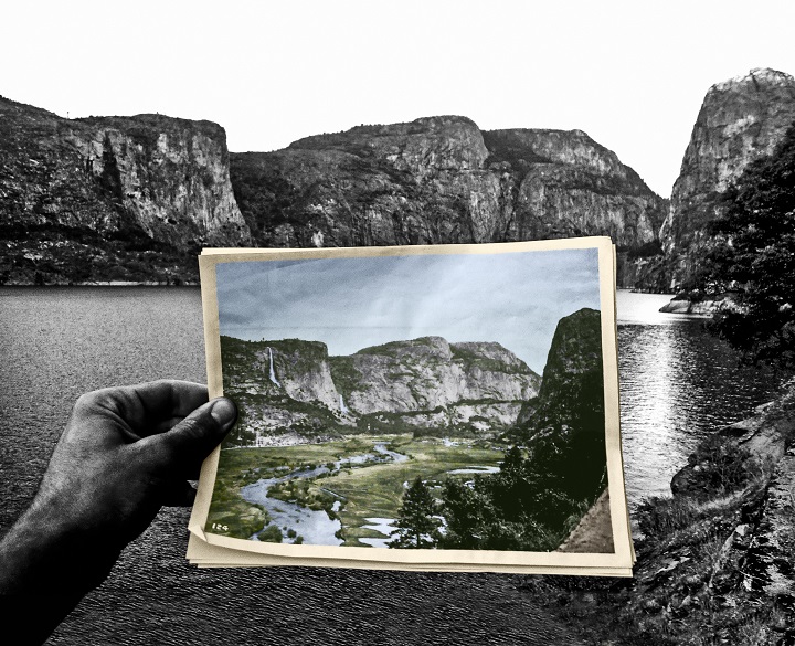
Originally a canyon much like Yosemite Valley, it was converted in the early 1900s to a reservoir – much to the dismay of legendary John Muri who led an effort to keep it in its natural condition. The battle was legendary but the needs of San Fransisco came first at the time.

Before and After

After the earthquake and fires of 1906, San Fransisco’s infrastructure was badly damaged and they needed a new source of water. Eventually, Congress stepped in and passed an act allowing the construction of the reservoir in a national park. It was built out several times since with an 88-foot extension and power generating station. There is an active campaign to restore the site to its natural condition.

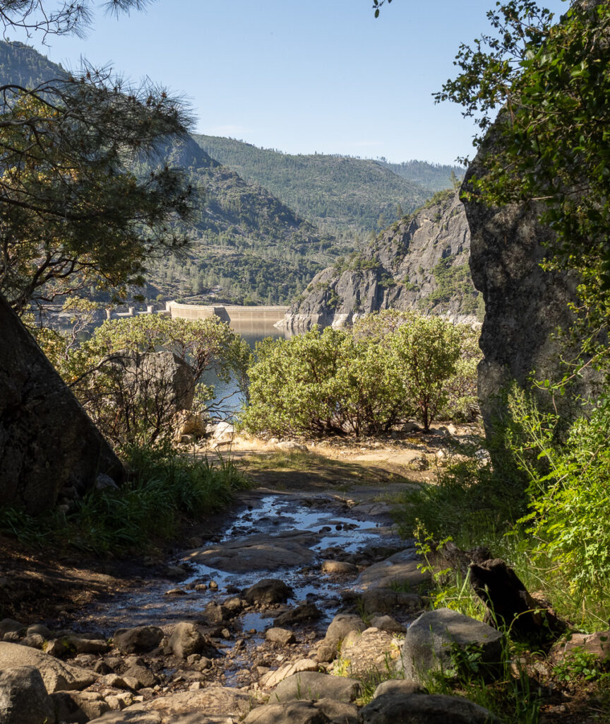
The trail on the north side of the reservoir. You can see the top of the dam in the background.

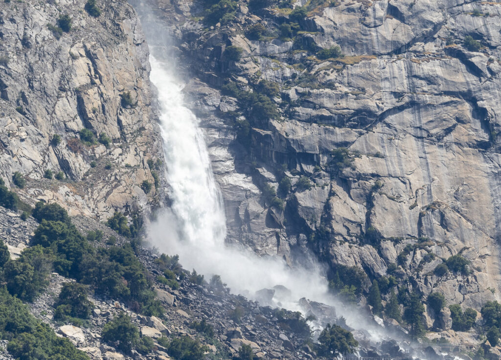
I had a good hike with my new REI carbon fiber trekking poles. Even did some scrambling over rocks. I was rewarded, much like the desert, with a rainbow of color from the wildflowers. I crossed over the dam, under the tunnel, and up to the Teleelala and Wapama waterfalls. They were flowing prodigiously, to say the least.

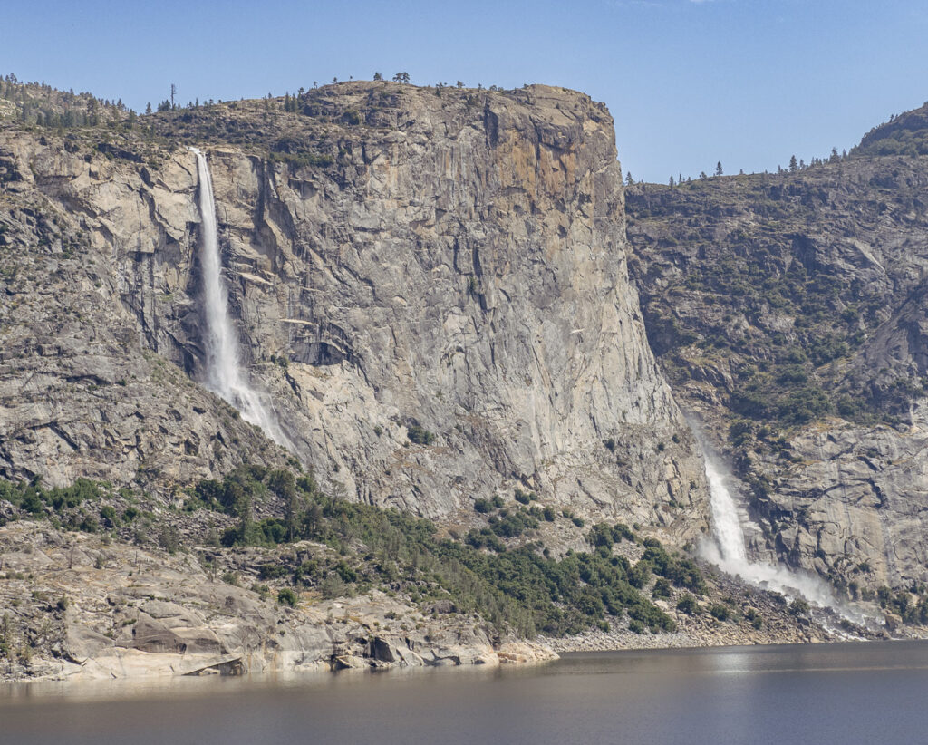
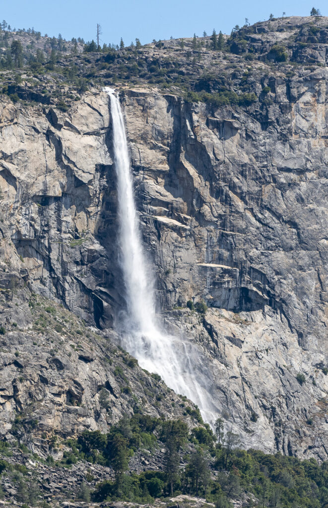
On the way back the sun came up and I got some great shots of the waterfalls.

Tueeulala & Wapama Falls ~ Hetch Hetchy @ Yosemite National Park
Tueeulala Falls
Wapama Falls

It was a great morning and felt good to have done a 4-mile hike with my new left knee. As a bonus, my right knee and back did not get very sore. I call that a win! Maybe I should quit while I am ahead!

We came, were hiked, and we are happy!

Check another one off the bucket list! As the last evening comes, thunderstorms bark lightning. Maybe we will see rain for the first time since Lousiana! Hopefully not while I am breaking camp tomorrow morning! Next stop – Reno and Lake Tahoe.

Mojave to the Mountians

Yosemite National Park is accessible from the east and west. The shortest (and most spectacular) drive would be to head north from Vegas and cross into the park on Highway 120 – Tioga Pass. Unfortunately, it remains closed due to the heavy snows of winter. So we backtracked our trip east last week to Bakersfield.

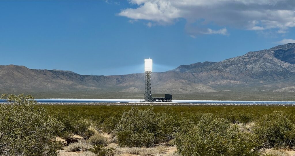
Ivanpah Solar Electric Generating System
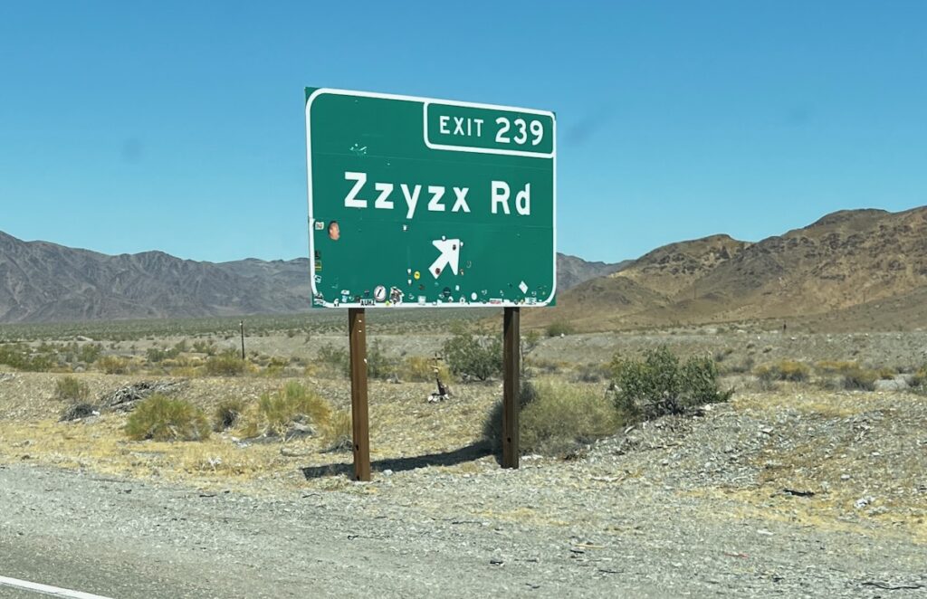
Zzyzx

I stopped to look closer at the Solar Electric Generating System over the California border. it is an impressive site. From there it was a repeat visit to the Mojave desert – in the opposite direction! It didn’t look much different 🤣.


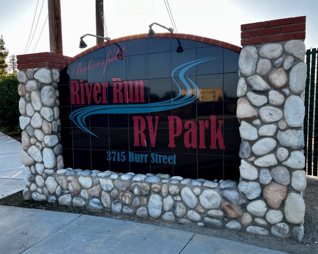
Bakersfield River Run RV Park

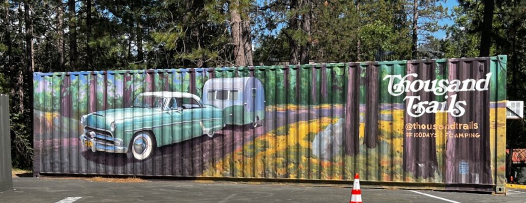
We stopped for the night along the Kern River in Bakersfield—this time in a Thousand Trails campground. If I understand it, these are more of a time-share operation. It sits alongside the Kern River which is flowing nicely. Google Maps shows it as a dry riverbed.

The next day’s journey went through the heart of the central valley growing region. Then the fun began!

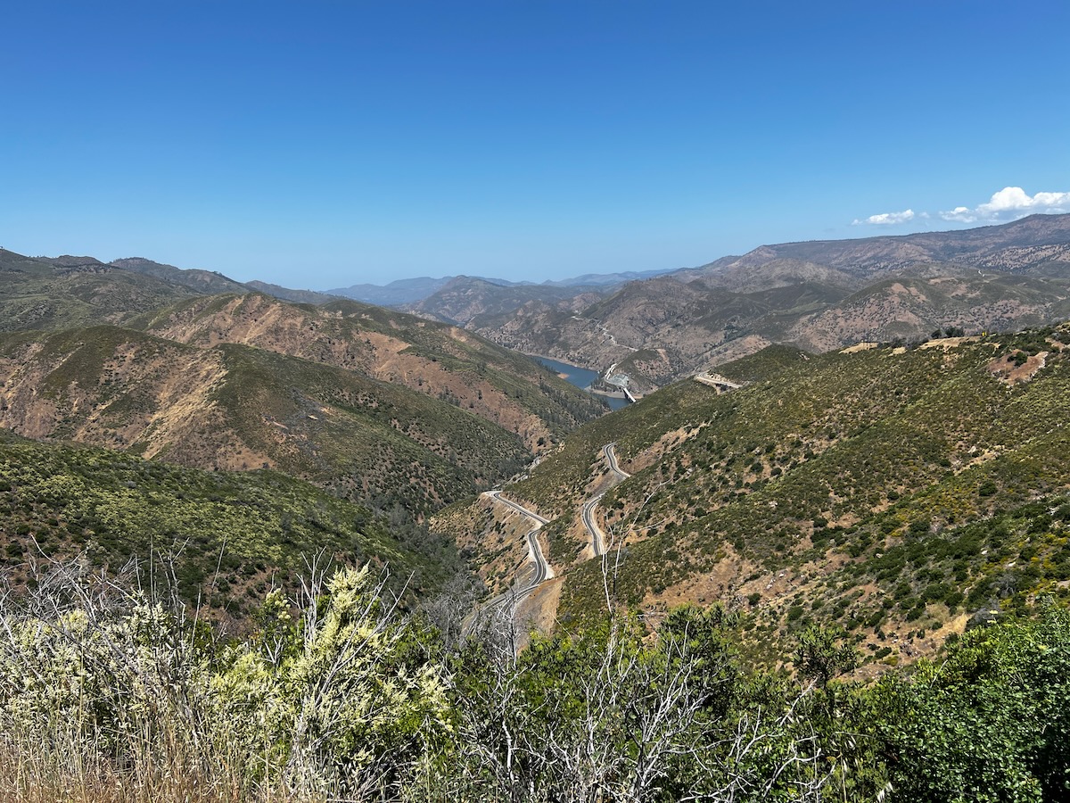
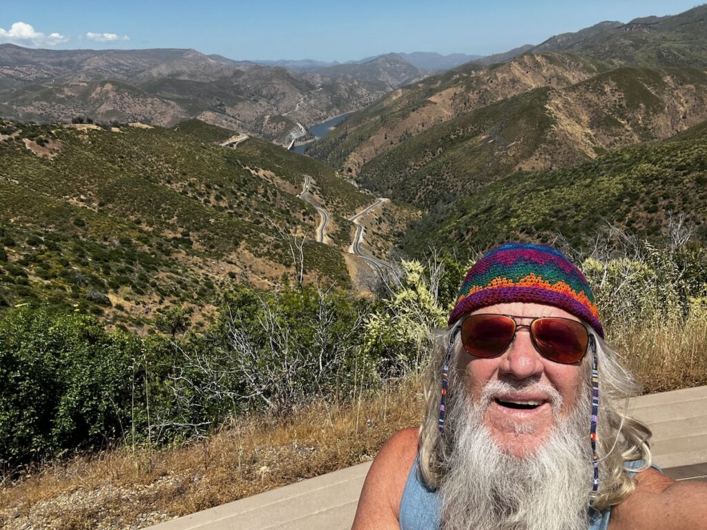
Kern River Valley. Over 20 miles of the twisties road I’ve ever driven!

We headed to the mountains and the windiest roads so far. We drove through spectacular California-style mountains, green from the winter rains. The road across the Kern River Valley was a roller-coaster ride pulling a 2-ton trailer!

Yosemite Lakes campground. Thousand Trails is a time-share racket but have some interesting locations!

The Yosemite Lakes campground was located inconveniently on Route 120 – Tioga Road – north of the Yosemite Valley. I only say this because the winter rains have damaged the entrance from this route, forcing me to drive almost 2 1/2 hours to get to the valley.

It is in a scenic area on the South fork of the Tuolumne River, very close to where we stayed. The river was full and flowing swiftly. There is a marshy area close by that we could explore – Jake could get all muddy 🐶!

Yosemite Lakes campground

We went to bed early that night to prepare for our 3 AM departure for a 2 1/2-hour drive to the Park. And boy, howdy – it would prove to be worth it!

Overlanding Las Vegas

Vegas 🎲 Baby

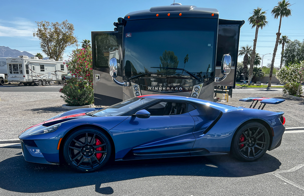
Bring your own supercar car in its own garage on wheels! The 2022 Ford GT starts at $.5M. Glamping at its best in Vegas, baby!

I took Jake on his very first tour of the strip in Las Vegas. He didn’t seem impressed 🤣🐶. We got in line with a bus-load of tourists (like ourselves) to take a selfie at the famous sign. Later in the week Dan, Maggie, and I went in to celebrate her birthday at Wynn’s famous buffet. I was stuffed!


I would guess that I’ve been to Vegas more times than anywhere else (if you don’t count Detroit – and I really would like to forget Detroit 🤣). In my many years of high-tech marketing Vegas is the place to go to keep the cohorts happy.

So I really didn’t want to necessarily visit Las Vegas again. On the other hand, there is a side to Vegas you don’t hear about as much – the Red Rock desert and mountains. After all the rain this year – the sights were epic!

Valley of Fire State Park

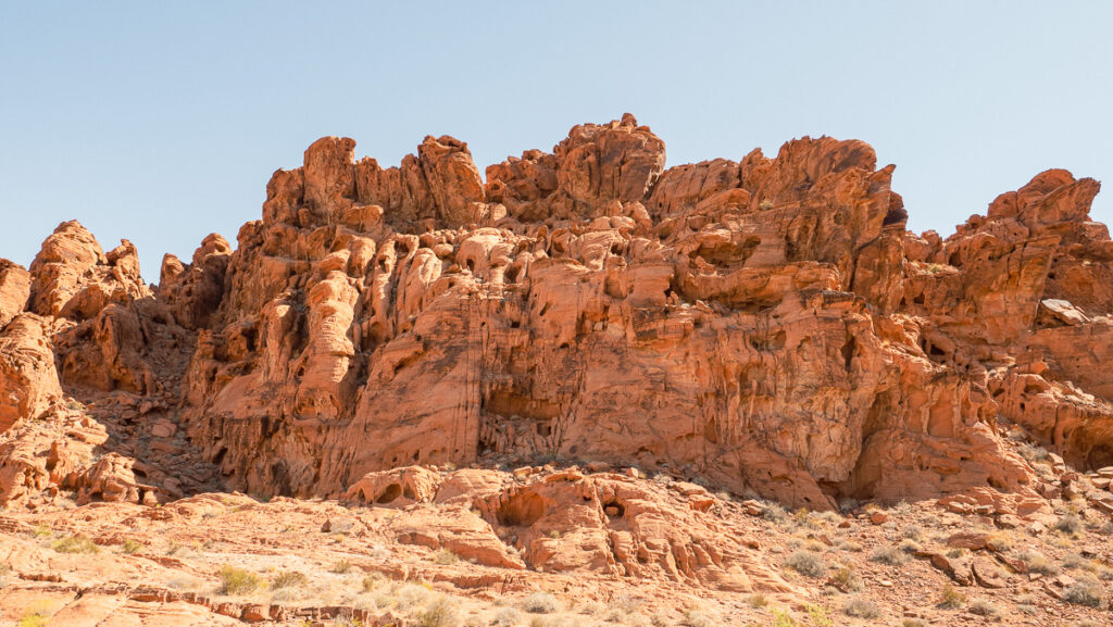
We toured Nevada’s first state park, Valley of Fire, early the first morning. It’s best described as an oasis of beautiful shades of red rock surrounded by desert. Deposits from an earlier time when the area was a river, the red rock has been since exposed and weather in a stunning display of the force of nature and time.

Valley of Fire 🔥

Very moving and yet another reminder of the star stuff we all come from. There is no difference where the elements that make up this rock and our body originate. Interstellar Overdrive, indeed!

Mother Nature at work since the time of our brother Dinosaurs 🦖

Complex uplifting and faulting of the region, followed by extensive erosion, have created the present landscape. The rough floor and jagged walls of the park contain brilliant formations of eroded sandstone and sand dunes more than 150 million years old. Other important rock formations include limestones, shales, and conglomerates. [from Wikipeadia]

Prehistoric inhabitants of the Valley of Fire included the Ancestral Puebloans, also known as the Anasazi, who were farmers from the nearby fertile Moapa Valley. Their approximate span of occupation has been dated from 300 BC to 1150 AD. They left us a message on the rock which has fortunately withstood the test of time.


Rainbow Gardens Overland

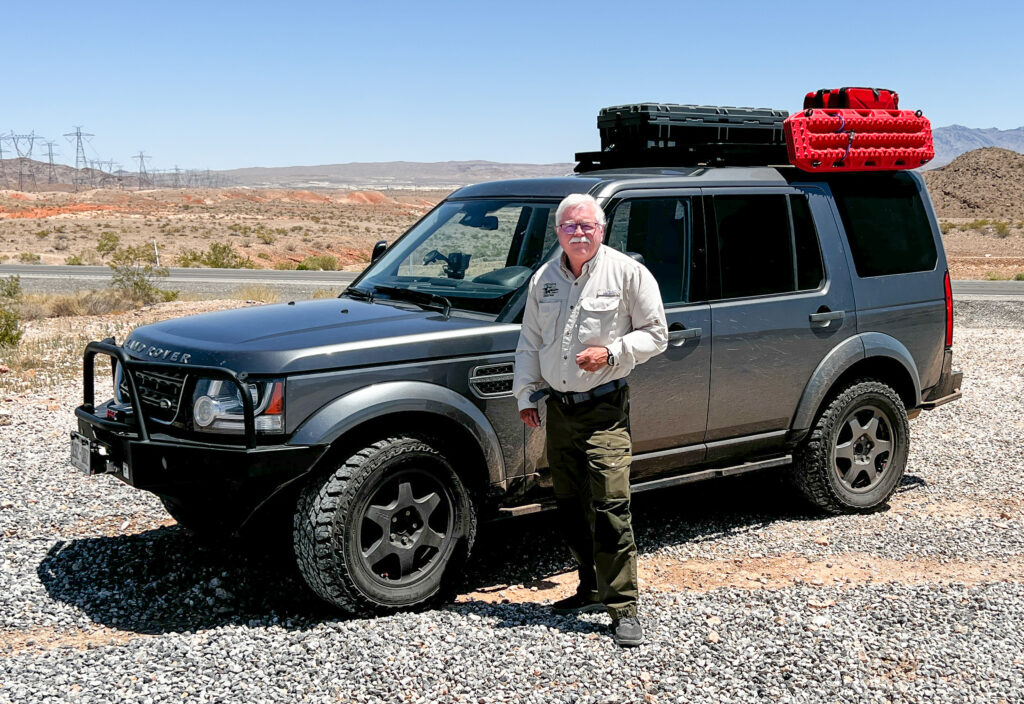
My friend Dan got into off-road driving and Overlanding a while back. He’s been working on equipping his awesome Land Rover with some serious hardware and taking lessons on technique. He demonstrated that superbly on the Rainbow Garden trail just east of Las Vegas. It was a blast!

Dan and his Land Rover LR6 with many modifications and added goodies 😎. A true offroad monster!

This was a vastly different landscape than we saw just a few miles north at Valley of Fire. The colors here were more varied with bright yellow and deep red showing together with some nearly white formations. Some of the hills were covered with an organism that had a grayish-purple color. Everywhere was evidence of the shaping forces of wind and water. Exquisitely beautiful and accessible thanks to Dan’s great driving.


Potosi Mine Overland to Goodsprings

Our second day of overlanding took us to Springs Mountian in the Red Rock Canyon National Conservation Area just west of Vegas. An old mine was the entrance to incredibly colorful desert scenery.

Patosi Mine Overland near Las Vegas

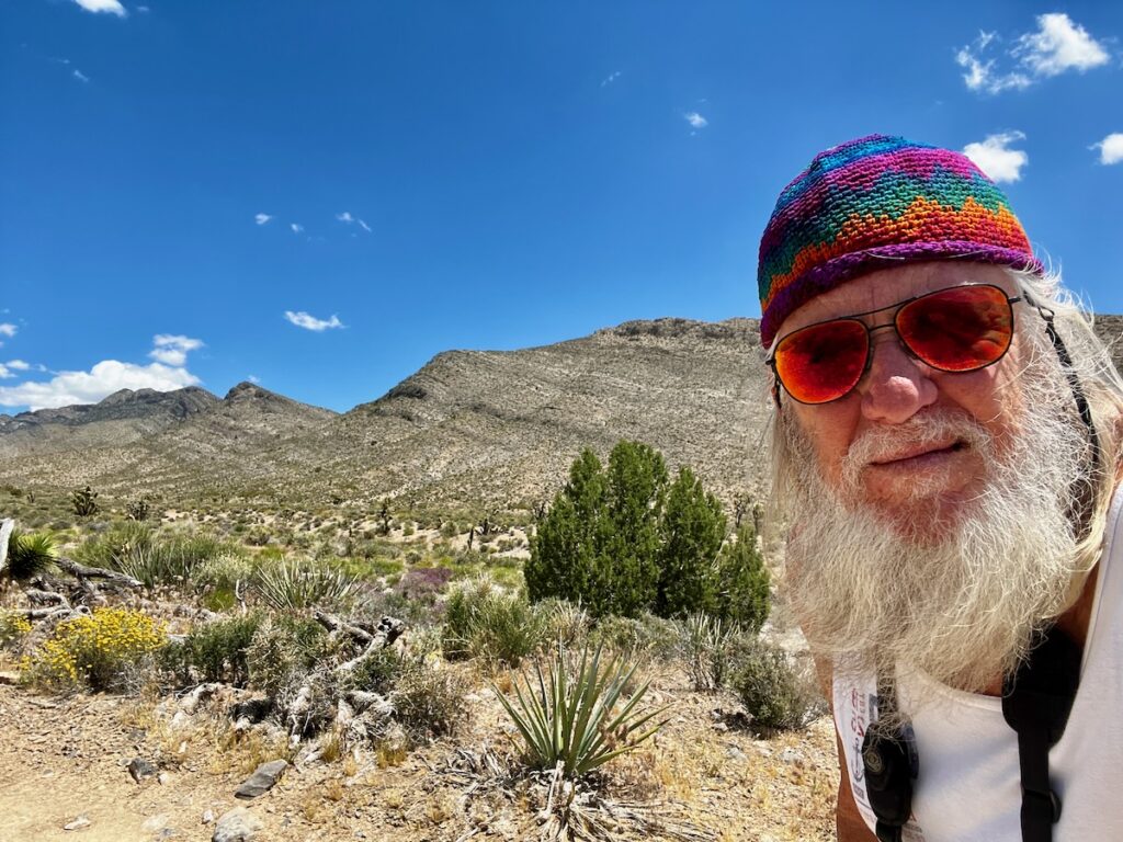
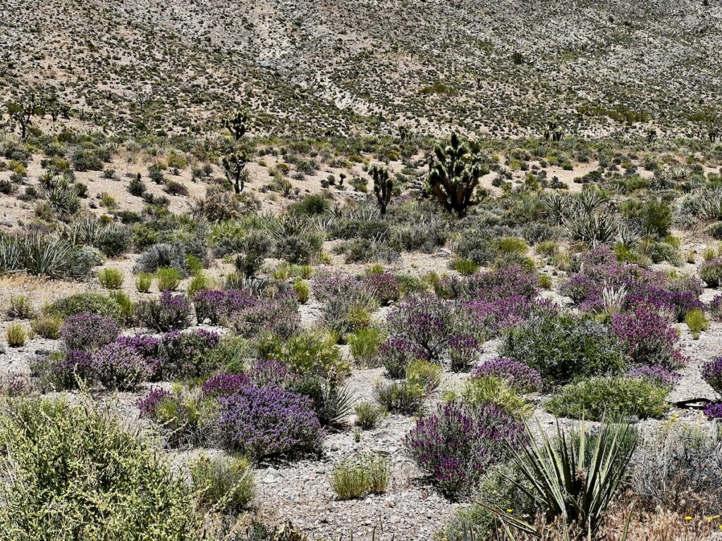
This route took us into spectacular scenery with Joshua Trees and many other desert plants that were in bloom. The colors – purple age, strawberry hedgehog cactus, yellow desert marigold – were stunning. The settings with the colorful plants and Joshua Trees were amazing. We even got lost a couple of times to test Dan’s skill and my fearlessness 🤣. The Land Rover didn’t care – it just kept on ticking!

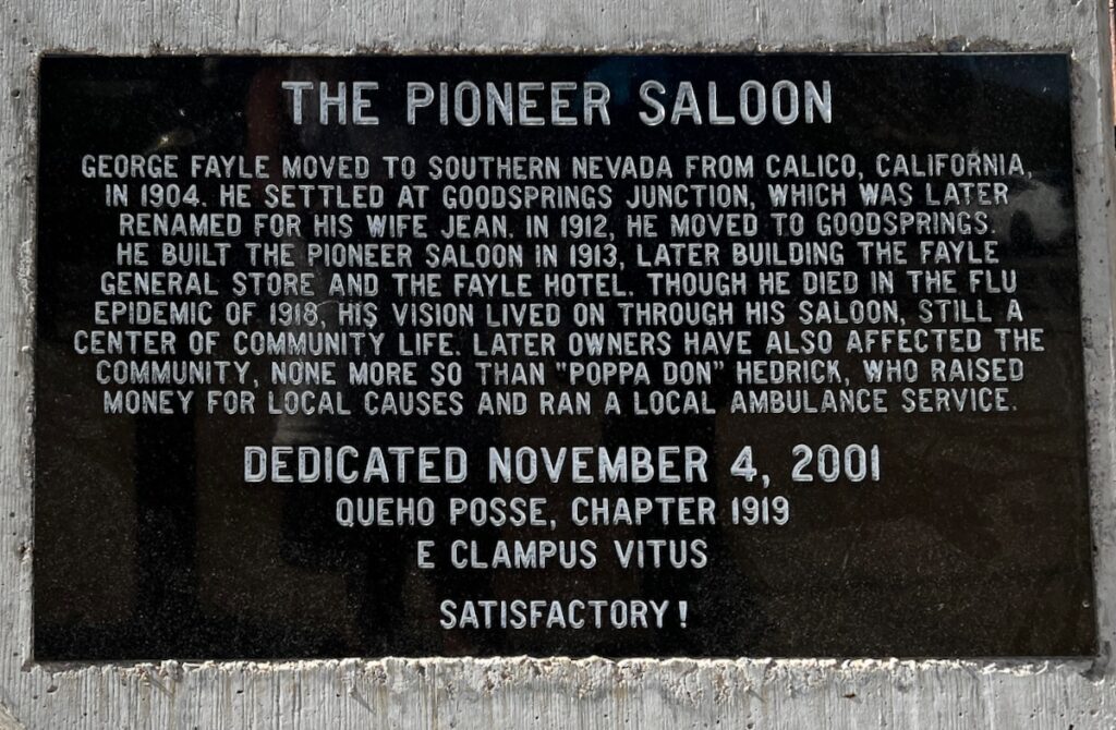
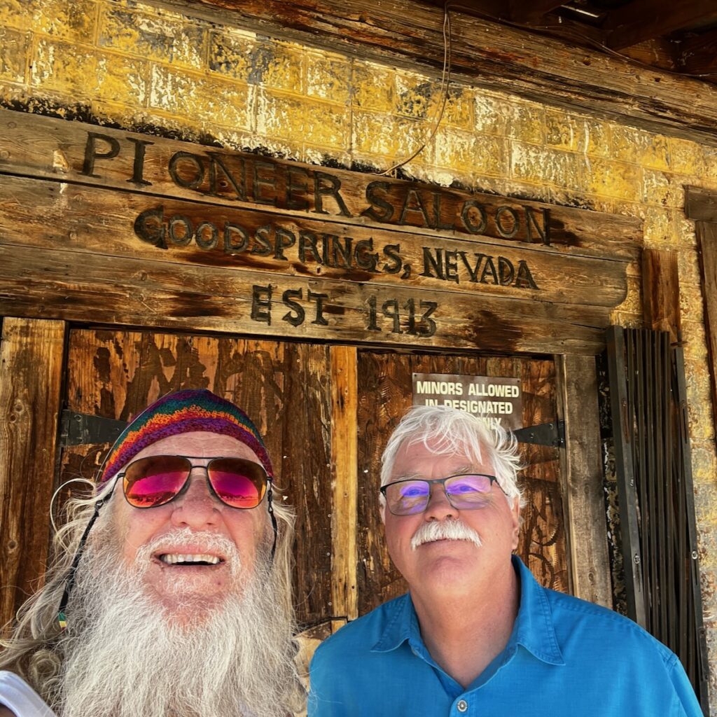
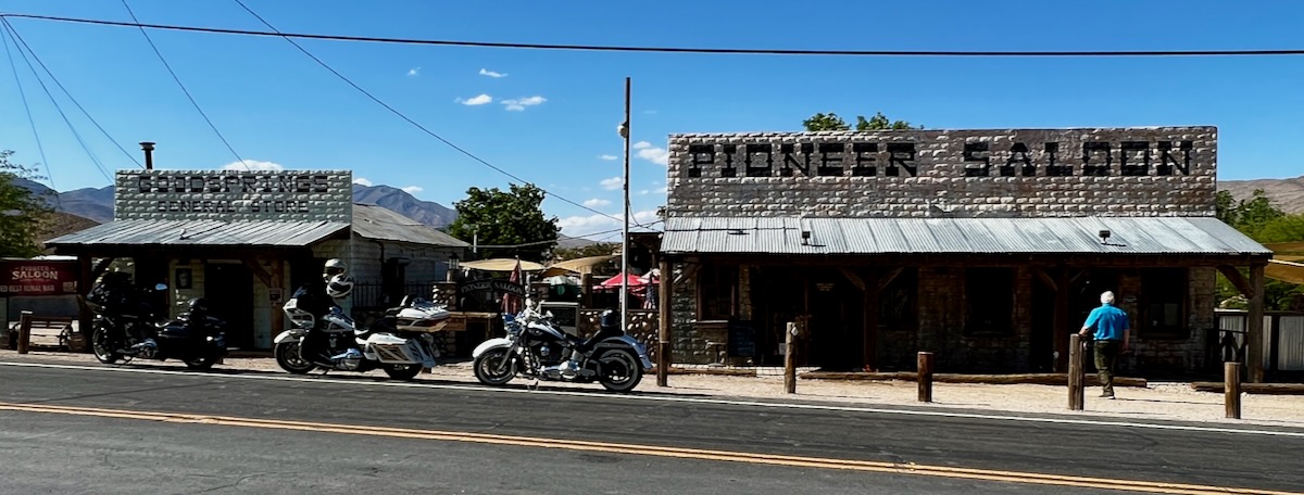
At the end of the drive, we stopped at Goodsprings and visited the historic Pioneer Saloon for some merch. It was a great day’s ride!


We enjoyed our time here with our friends and got to see some splendid sights! We now start our two-day journey to Yosemite. Long on my bucket list, we have to go the long way around because of all the winter rains and snow in the mountain passes. Should make for beautiful sights at the park though!

Mojave Part II

A two-day drive back to the desert. We are heading to Lost Wages 🤩 to meet up with old friends Dan and Maggie Matheson. They got me into RV’ing several years ago and it will be our second meet-up on the road!

Jake and I drove the same route I took when visiting my parents and brother Dave in Lancaster from 1975-1978. The first part of the drive opened up after a mountain pass to a vast agricultural vista. Acre after acre of growing operations. Of particular interest were the Orange groves. Many of the trees were covered with a gauze-like fabric. This apparently keeps bees out when you are growing seedless fruit. I passed one vineyard that seemed to go on for several miles.

Windfarm near Mojave California (Google images David Bowman)

After that, it was back to the desert. I stopped for the evening in Boron, just east of Mojave. As I dropped into Mojave there was another very large wind farm. Some of the windmills were smaller, something I had not seen before. There was also a large ‘boneyard’ for jet airliners. Where aircraft go to die ☠️.

Twenty Mule Team Borax

Boron is home to the company Borax. I remember that name from my young childhood. They were sponsors of a TV program called Death Valley Days. Their tagline and mascots were Twenty Mule Team Borax. The plant sits right outside town and offers tours. They basically mine soap 🤣. Maybe next time!

Other than that Boron looked very lowkey. Edwards Airforce Base is also nearby more jobs. The trailer next to me had a multitude of cables running into their trailer and my phone was a full-tilt 5G hotspot. Wired ⚡️at least.

The second day was an easy – and interesting – one on the way to Vegas. I noticed a section of Route 66 that runs through Barstow and a Route 66 Museum! We stopped to take a look and pick up some merch! There were several museums there including one for Trains and even a NASA exhibition.

Back on the road, the traffic picked up, cars whizzing past me on some crazed mission. Everyone from SoCal was headed to Vegas for the Memorial Day weekend! Big Fun! I saw some near misses as people lost their tiny minds and drove like they were being driven by the Hounds Of Hell!

As we approved the state line I saw one of the most incredible sights of my life.

Ivanpah Solar Electric Generating System – Photon Concentrator

This is a solar power generating station. I had seen pictures of it in the past but seeing it close up like this was breathtaking. The air around the mirrors and central collector (where it is turned into steam to run a turbine) was like something out of a science fiction movie. Boy, do I love science!

We pulled into Las Vegas KOA at Sam’s Town midafternoon to find out friends were already there and set up. The campground sits next to a standalone Casino & Hotel with a movie theater and bowling alley. Everything you need to keep everyone in the family entertained!