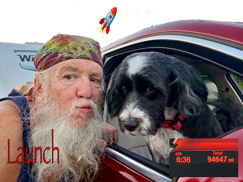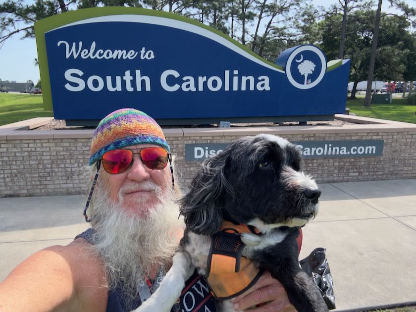

We journeyed along the coast, heading towards the Outer Banks of North Carolina. It had been over two decades since my last visit to this area, when I had crossed by ferry at Ocracoke. Instead, I chose to ascend the western side of Pimlico Sound.
New Bern

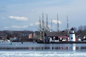
We spent an overnight here. New Bern is located on the southern end of Pimlico Sound, north of Camp Lejeune Marine Corps Base. The campgrounds are situated on the north side of the Neuse River, across from New Bern. This area was founded by German-speaking Swiss in the early 1700s and named after the Swiss Caton of Bern. Bern is German for bear, which is why the coat of arms features a bear.
The campground was absolutely fantastic! We had a great time exploring the surrounding area on several walks. We also took a refreshing dip in the pool and indulged in a long, hot shower in the bathhouse.


The next morning we explored some of the nearby area, slowly making our way northwards towards our destination in Coinjock on Currituck Sound.
Currituck Sound
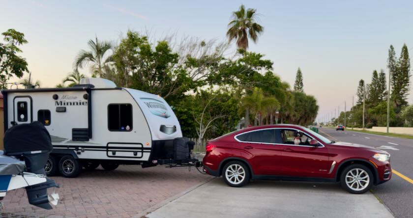
The campground was situated at the very northern tip of a peninsula, affectionately known as Church Island, nestled between Coinjock Bay and Currituck Sound. A canal was constructed to facilitate transit through the Intercostal Waterway. I had the pleasure of witnessing several breathtaking boats, including the one depicted below. Could it be a tax write-off?

This was our home port for exploring the Outer Banks. The facility was very nice, with many long-term campsites and cabin rentals. They had a supply of kayaks and plenty of kid-friendly activities. They’re also building a huge pool at the entrance, which is supposed to open this summer.


Lighthouse Tour
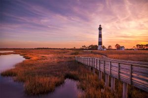
Our first day’s adventure involved a 200-mile round trip to visit two of the southern lighthouses: Bodie Island and Cape Hatteras. The day was beautiful as we embarked on our journey to the beach. Our first stop, approximately halfway through the trip, was Bodie Island Lighthouse.

This lighthouse stands as the third to be constructed on this spot, following the initial lighthouse built in the late 1840s. Unfortunately, the first two lighthouses didn’t last long. This one, however, has been standing since 1872.

The grounds and boardwalks were in excellent condition. We thoroughly enjoyed a walk around the grounds, including the boardwalk that crossed the marshlands.


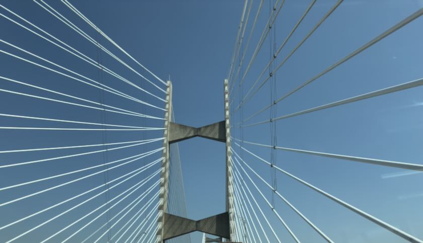
The next part of our drive led us to the Pea Island National Wildlife Refuge. There are several very impressive bridges and trestles that appeared remarkably new. In fact, they were so new that they were not visible on the map software built into Starship Excellent Adventure in 2016.

The final part of the drive led us to Buxton, the home of the renowned Cape Hatteras Lighthouse. Standing at an impressive 210 feet tall, it holds the distinction of being the tallest lighthouse in the United States.

The lighthouse, originally built in the early 1800s, was tragically destroyed during the Civil War in 1862. A second lighthouse was constructed in the 1870s to replace the lost structure. However, by the late 1990s, this lighthouse was in dire condition, on the brink of collapse into the sea. Remarkably, an incredible engineering feat was undertaken to relocate the structure over half a mile to the southwest. This remarkable achievement earned the lighthouse widespread acclaim, as it was the largest masonry structure ever moved. Despite numerous lawsuits filed by skeptics who doubted the project’s success, the lighthouse was successfully relocated.
When I first laid eyes on the structure in the summer of 1999, I could already see the roadway that had been constructed. Over 25 years later, I was filled with immense excitement to finally see the final resting place!

WTF?
Imagine my surprise when I first saw it, driving down the coastal road—covered in fucking scaffolding! Indeed, it was being refurbished. And, boy howdy, did they ever do a good job of covering it up! You could barely tell there was a lighthouse behind all the hoo ha!
For some inexplicable reason, this always seems to occur whenever I revisit a place after experiencing a setback on my initial visit! This unfortunate incident has happened to me thrice while attempting to dive the renowned walls of Little Cayman and Cayman Brac, and every time I have tried to see the Statue of Liberty!
We did visit the beach nearby where the lighthouse was located before the move.


The following day was a rainy day. A strong southwest wind brought thunderstorms and wind in the morning. By afternoon, the wind had nearly 180 degrees of change and started blowing out of the northeast. We enjoyed walks around the campgrounds during our breaks. That evening, I treated myself to some crabcakes at the local marina. Many multi-million-dollar yachts were parked there, including this stunning wooden beauty!

Wright Brothers National Monument

This has been on my list for some time now. I visited here in 1999 but did not visit. The weather cleared nicely and we headed out to the beach again.

While the Wright brothers were not the first to fly like a bird, but they were the first ones to do under power. They worked patiently in their shop in Dayton, Ohio but needed a place to test their designs and Kitty Hawk was the place. It offered them everything they needed including seclusion.

One of the nicest things was the ability to see out over the built-up shoreline and see the ocean. The monument sits a top a 90 foot tall hill, formed and stabilized from the shifting sands the Wright brothers tested their glider designs on.
The site comprises a monument and a vast grass field where flight tests were conducted. Markers indicate the distances and times flown during the first four powered flights. The visitor’s center is situated at the far northern end of the field. Replicas of the buildings used for hangers and living quarters are displayed, reflecting the four years the brothers spent here from 1900 to 1903. Additionally, there are other exhibits, and on the eastern side of the monument, a small airstrip serves as a haven for private pilots.


Currituck Beach Lighthouse
Our final visit took us northward from the Monument, along the coast, through Southern Shores and Duck, to Corolla. The area is quite different from the lower part of the Outer Banks. A single-lane road winds slowly through million-dollar beachfront homes and low-key resorts.

The Currituck Beach lighthouse, situated in the charming village of Corolla, was constructed in 1875. Unlike other lighthouses, it was not painted.

Our tour of the Outer Banks was complete. We headed back to get ready for our trip to visit with our cousin Sandra and her family in Delaware.